Peddocks Island
For a few years after I learned how to sail, I regarded sailing as a process to enjoy. When I went sailing, I, well, raised my sails and went sailing. That was the entire point now, wasn’t it?
And then I had an epiphany: sailing is not just fun, it’s a mode of transportation! You can go places on a boat! In particular, you can go places inaccessible without a boat.
Thus, a project was born: to visit and explore every single island in Boston Harbor.
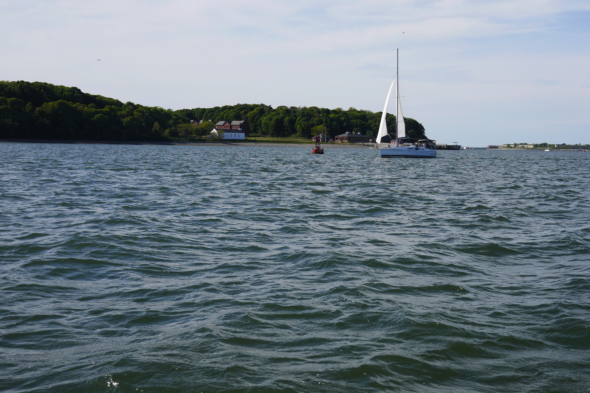
And so, on a Sunday couple of weeks ago we (the crew: me, Sergey and Lena) pointed our boat towards Peddocks Island. Peddocks Island is, in fact, reachable by a ferry; also, I’ve been here before (most recently, with my friends Sasha and Anthony); but it’s an interesting island, and a fresh east breeze was on our port bow, so on we went: past the Spectacle Island dock; under the demolished bridge to Long Island — funny thing, that bridge, they blew it up a couple years ago, but it was etched so deep in our consciousness that no amount of industrial explosives could change the fact that the bridge still exists, and we sail under it; — then between the mostly underwater rocks of Sunken Ledge and Hangman Island; and finally turning into the wind towards Peddocks.
Peddocks Island lies in 7–8 nautical miles from Boston. Here it is on a modern chart and on an aerial photo.

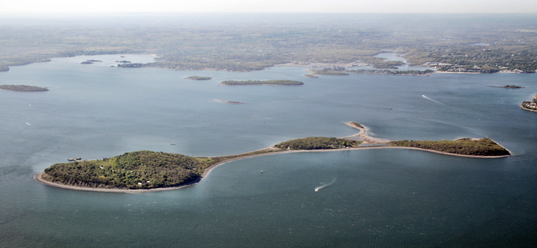
Peddocks Island has nice, suitable for anchoring coves on both sides. That day, the wind demanded us taking the northwest side, where I’ve never anchored before. It’s always a treat to try a new anchorage, so we happily obliged.
Peddocks is one of the largest islands in the harbor (it has the longest shoreline of them all, note the record keepers), and consists of five glacier-made hills (drumlins).
It also has its claim to fame in the arts and crafts entertainment department: it played the title role in the Shutter Island movie by Martin Scorsese (2010): that of the fictional Shutter Island. The real life prototype for Shutter Island, with its hospital for criminally insane, was another island in Boston Harbor: Long Island, which over years had its share of specialized institutions. Fittingly enough, it’s been closed to public for many years, so they couldn’t shoot a movie there, and chose to film on Peddocks instead. Unfortunately, the island in the movie was very heavily digitally edited in post-production. If you, like me, are watching this movie for the views of Boston Harbor and Peddocks Island, you, like me, are bound to be disappointed. Movies are all lies! And it hurts to learn that lesson. If you watch carefully, though, there are a few seconds (mostly when Leonardo DiCaprio arrives on a ferry) when the island in the movie looks almost like the real thing.
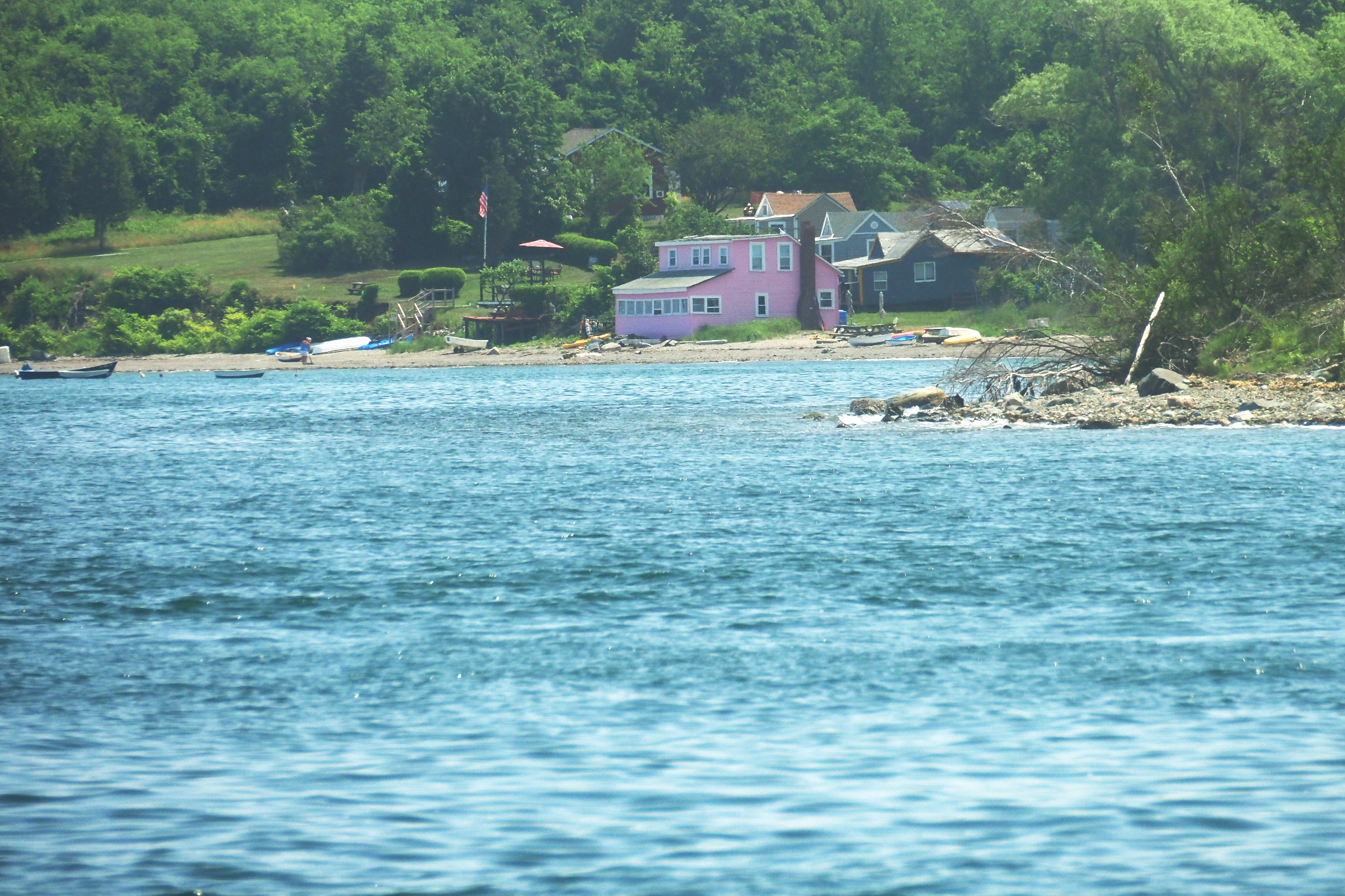
As you can see on the chart above, there were two coves available to us, Perry and Portuguese Cove. I chose Perry Cove, as somewhat larger and closer to the fort.
When anchoring, it helps a lot to know the depth below and around you, and I find a depth sounder to be the only genuinely useful electronic gadget on a modern boat. Alas, the boats in our club have the tendency to denying me their usage, one way or another. This time, the depth sounder itself worked just fine, but the chart plotter screen, to which it was connected, was too dark to see anything! I was forced — again — to look at the chart, not nearly detailed for this type of work, eyeball the surroundings, and hope for the best.
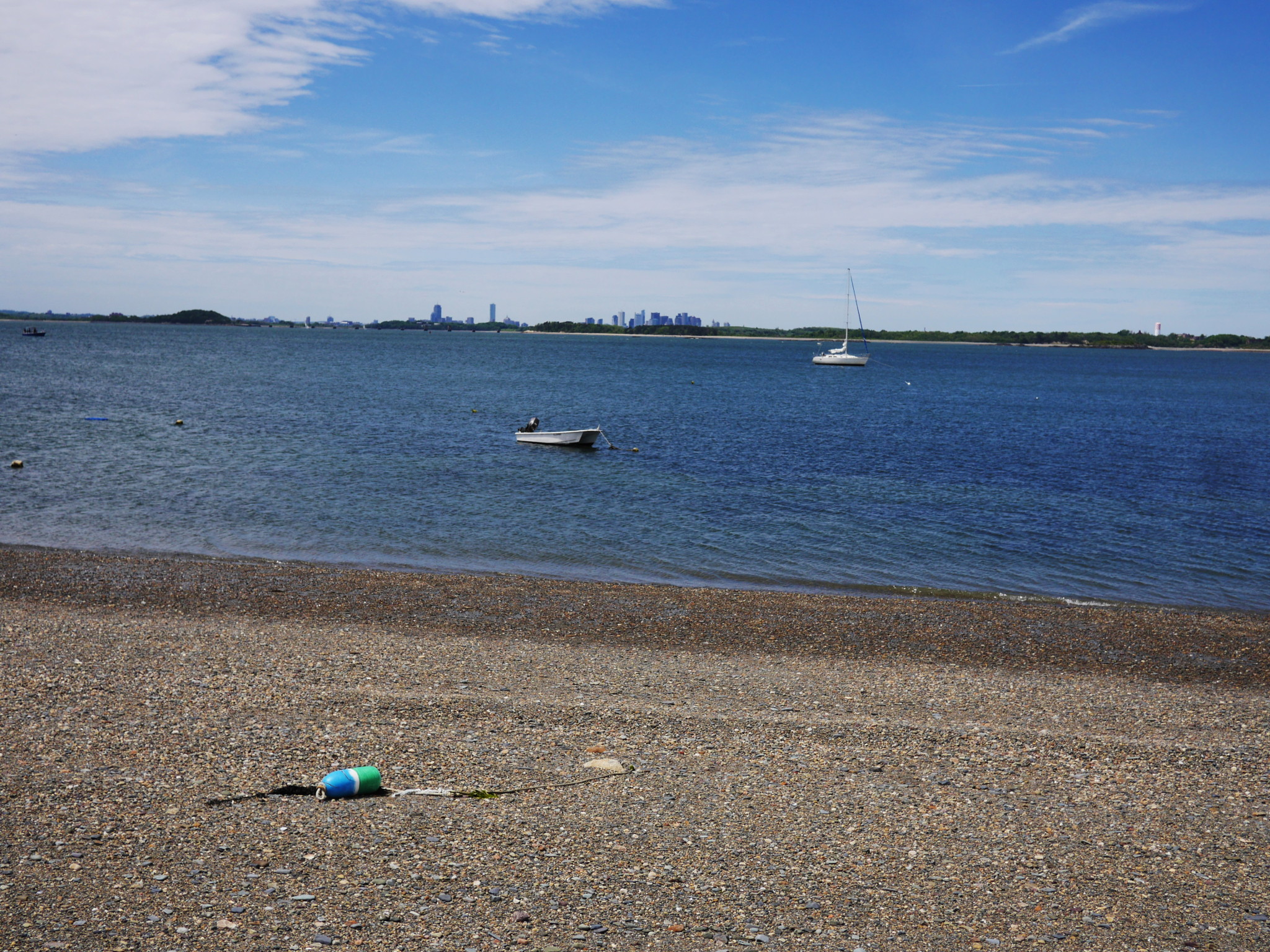
The anchor finally went down, we inflated our dinghy and rowed to the beach. Here is our boat anchored against the backdrop of Rainsford and Long islands (if you squint, you can see the invisible bridge to the left of it!) and the Boston skyline.
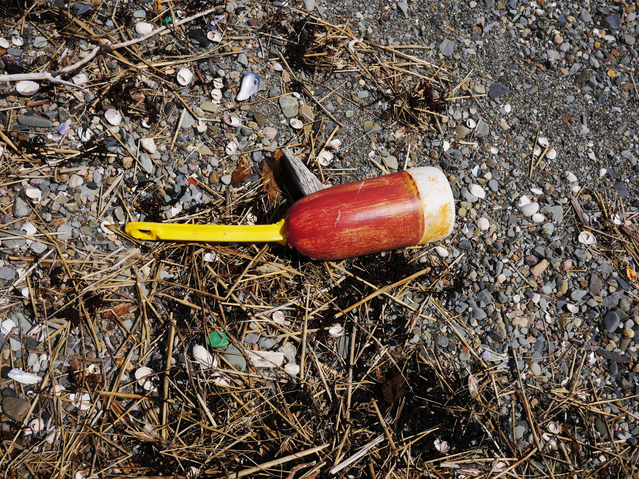
As the three of us walk down the beach, taking photos of random flotsam and jetsam and absorbing the panoramas of Boston Harbor, let’s recall the history of the island.
Peddocks (or Peddock’s) Island is named for Leonard Peddock, one of the early English settlers. Very little is known about him, not even if he ever lived on his island.
The first record of the island in the annals is not of the happy kind. The Boston Harbor islands, including Peddocks, were historically populated by the Native Americans during the summer. Of course, nobody has called them that back then — they were called the Indians, or red men. Some years before the Pilgrim arrival at Plymouth (1620), a French merchant ship was anchored offshore from Peddocks. The Indians from the island boarded the ship and killed everybody on board, completely unprovoked, except for five French sailors, whom they kept to show to other Indian tribes. Some time later, a horrible outbreak of (presumably) smallpox devastated the Indian population on the island and elsewhere, considered by some contemporaries to be poetic justice for the murder of the French. Surprisingly, modern publications tend not to mention that story.
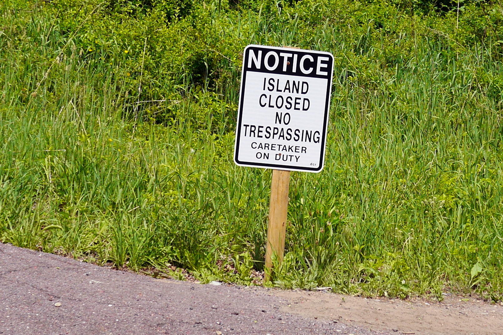
As we went down the beach, I was looking for a way to veer off and join a road. An opportunity presented itself with this appropriate sign:
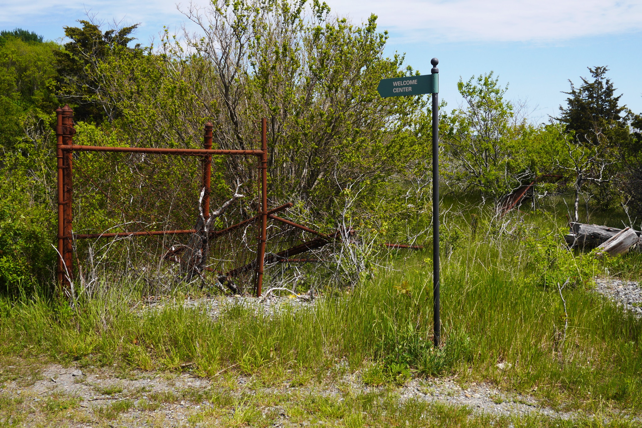
My crew regarded it as some sort of modern outdoor art, but I thought it was a genuine attempt to point visitors the right way. We followed the sign and soon joined an unpaved road towards the fort.
This makes me to skip from the early island history to the late nineteenth century, when a couple of groups of the island inhabitants were getting established.
First, there were Portuguese fishermen. In the 1880s they were expelled from, out of all places, Long Island (where hospitals were being expanded). Many of them floated their houses to Peddocks Island’s East Head (a remarkable feat for these unsophisticated people!) and settled there.
Another, very different kind of settlers were the military. In the 1890s the island was included into the Boston Harbor defense system, which was designed to be distributed and spread across multiple islands, and a sprawling fort had started being constructed in East Head. That, of course, meant that the Portuguese were expelled again. And again, they floated their houses and resettled on the island’s Middle Head.
This is exactly where Portuguese Cove is, and this story explains the name, which was a mystery to me before. Since one of our crew is Portuguese, I can see more exploration of that part of the island in our future.
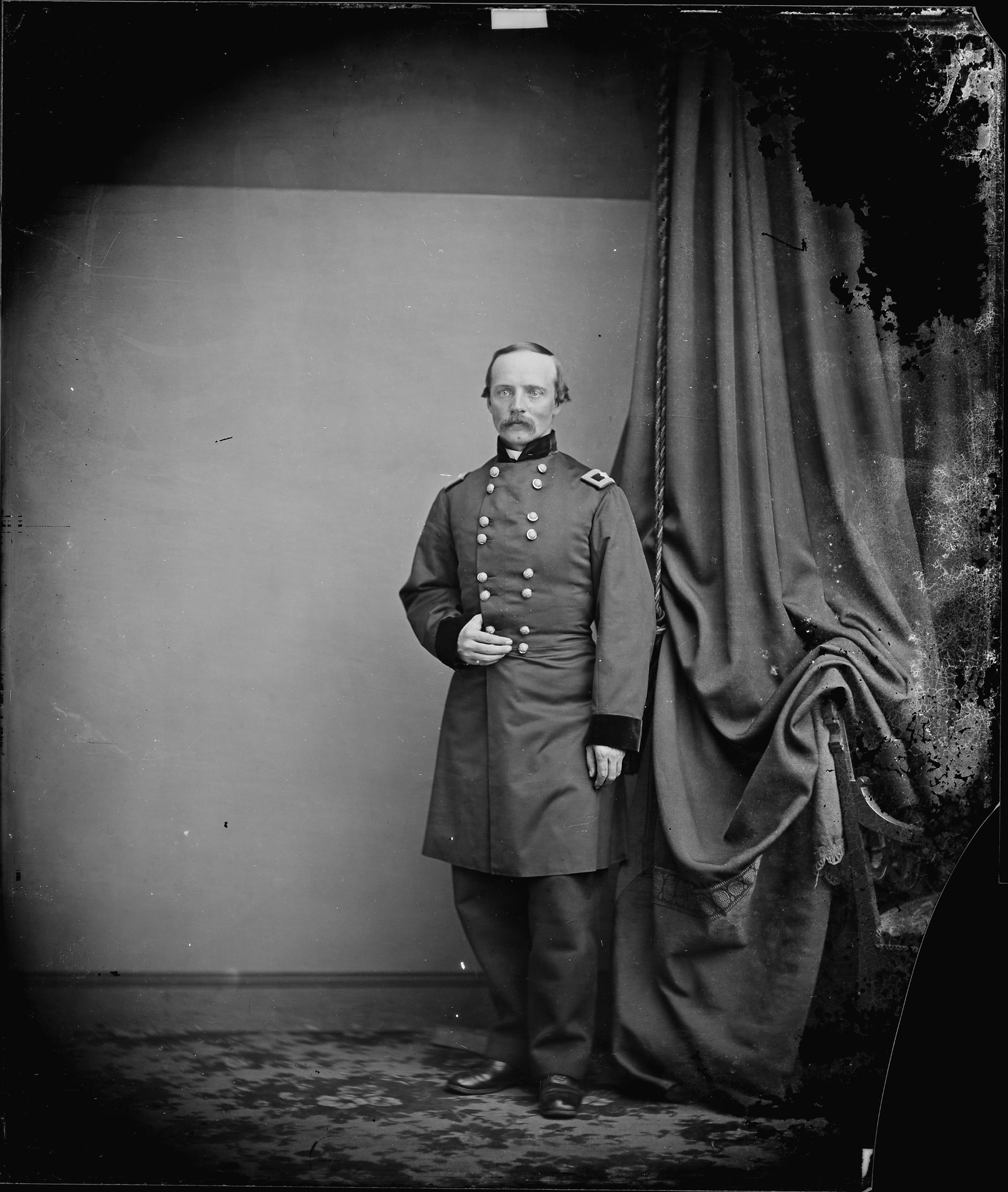
The fort was completed in 1904 and called Fort Andrews, for the Civil War general George Andrews. Unlike Leonard Peddock, we know a lot about George Andrews, and have his photo. His civil profession was civil engineering, and he was heavily involved in the construction of Fort Warren on the nearby Georges Island (1833–1861).
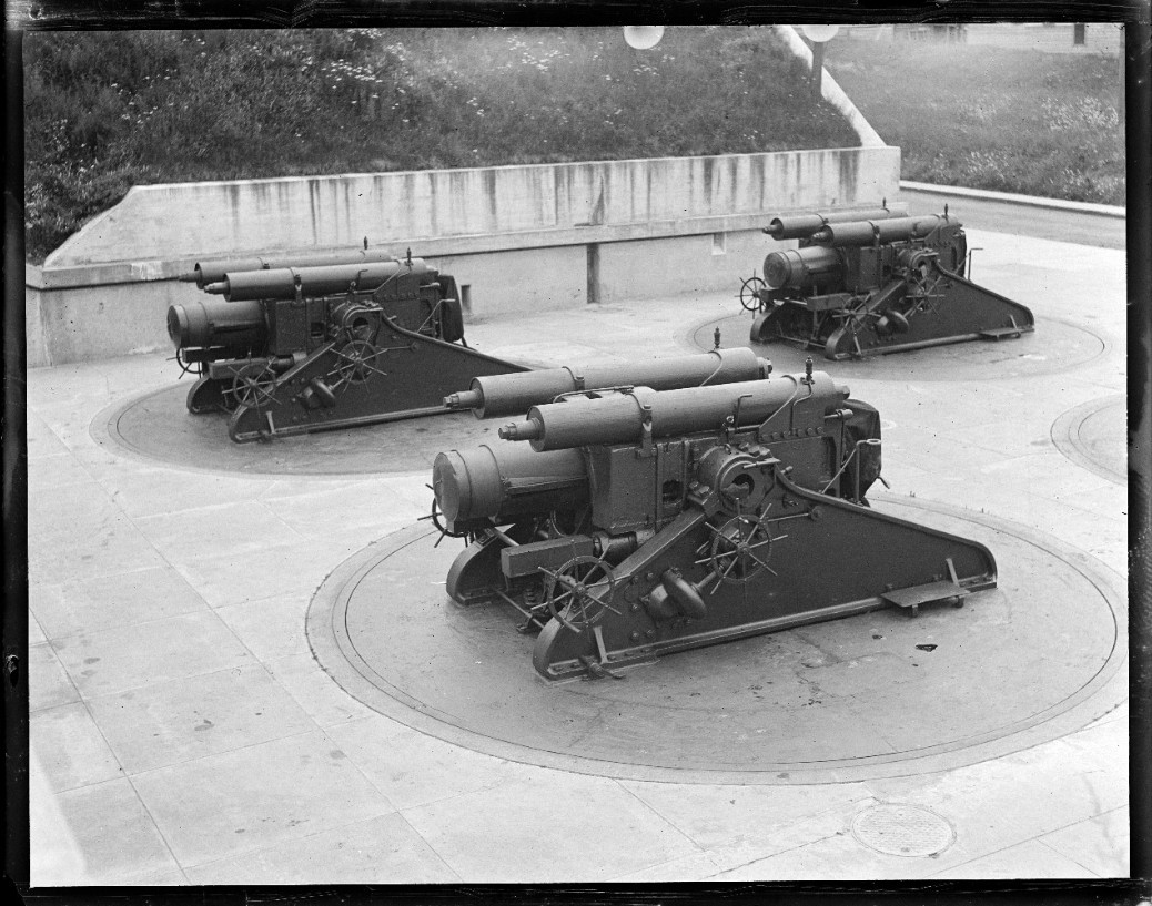
By the start of World War II the fort had sixteen 12-inch coast defense mortars, two 3-inch guns, and two 6-inch guns.
The mortars, split into two batteries, fired on a very high ballistic trajectory, and had the maximum range of 8 miles, more than enough to cover the entire harbor. The mortars fired almost vertically, and thus could be placed behind the hill and be protected from the enemy fire. Because of that, the gunners could not aim the weapons themselves, and had to rely on the calculations by the men in the fire control building above and behind. I can only imagine how hard it was to hit a moving target… but then, of course, an enemy ship would have no defense against a direct hit from above.
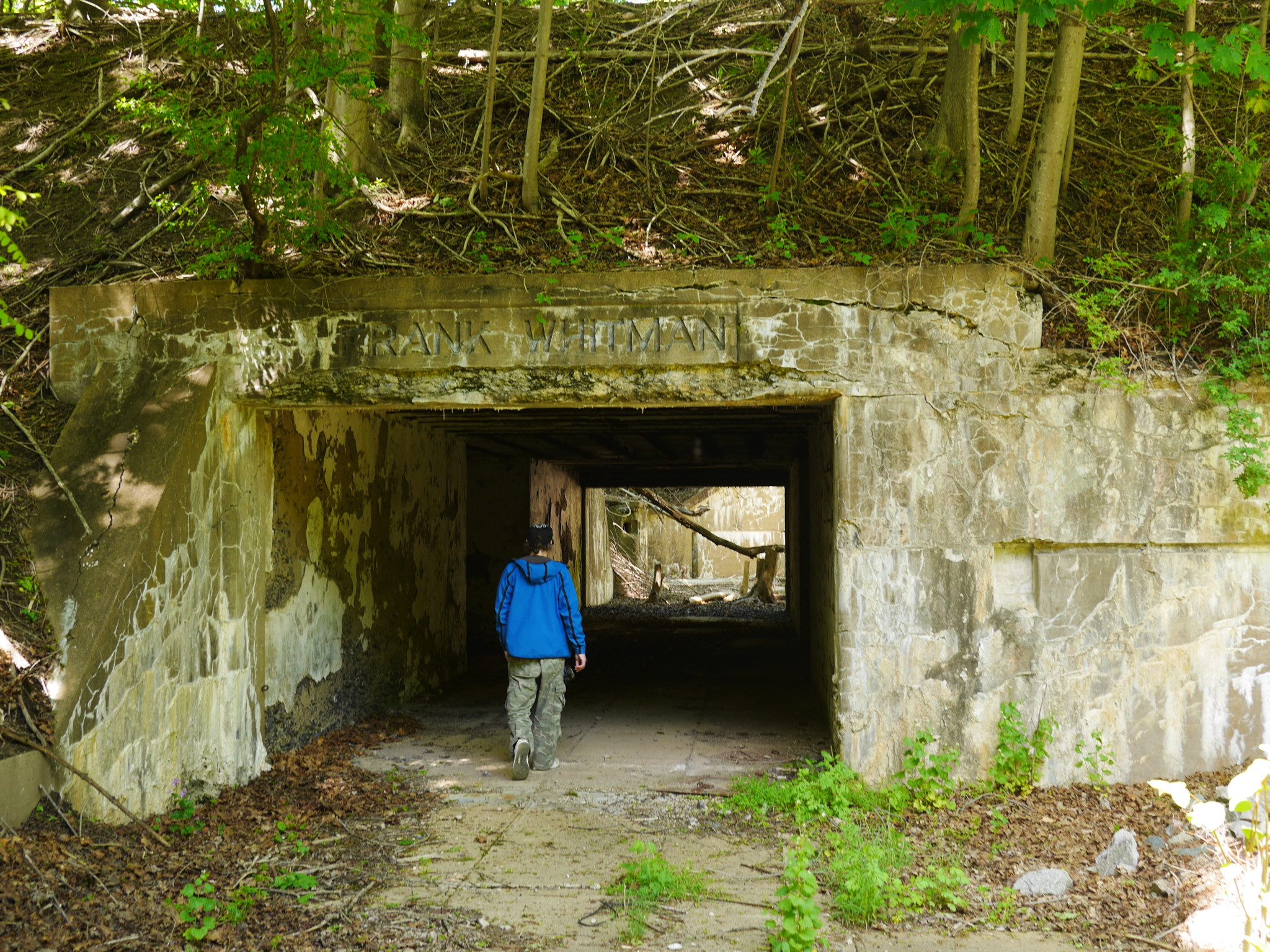
In any case, the guns are gone long time ago, but it is easy to inspect the “pits” from where they were fired. Here, Sergey is exploring Battery Whitman, one of the two mortar batteries.

By the way, all these trees are new — when the fort was operational, the hill was completely bare of the trees.
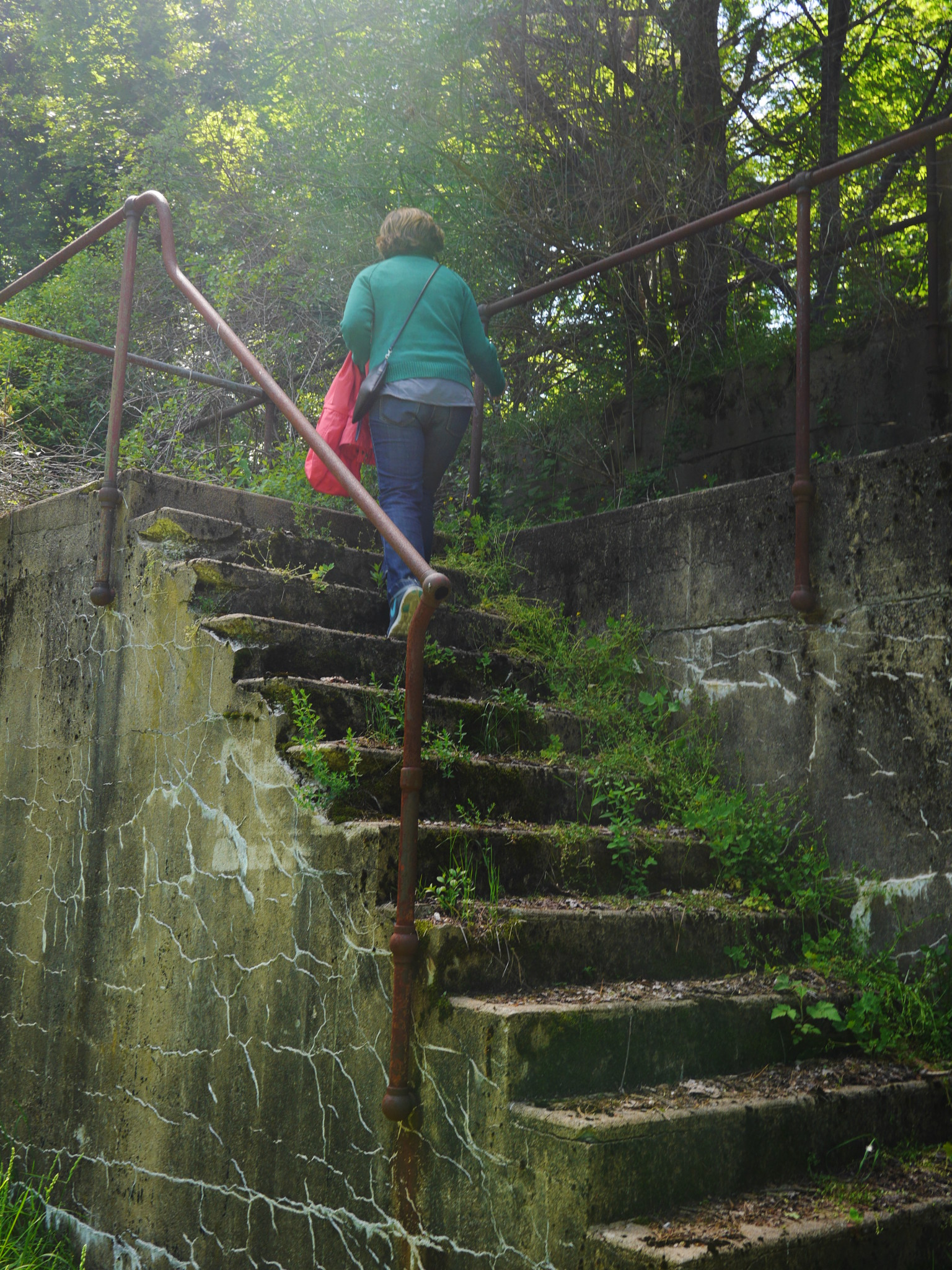
From the mortars, we climbed up the hill to see the former sites of the 3 and 6 inch gun batteries, which were much more overgrown, crumbling and hard to explore. The guns had maximum range of 4.5 and 9 miles, and fired directly at the target, — hence the need to be placed on a hilltop.
Now, here is how it looked back then. The photos are not dated precisely (“ca. 1917–1934”), but we know that things didn’t changed much by the Second World War.
First, the mortars at Battery Whitman, the very same battery we just explored:

By the way, thus photo settles the purposed of the grooves in the mortar pit walls, which were not entirely clear to us: they housed electric wires and electric lights.
And a couple of photos of some other guns at Peddocks:
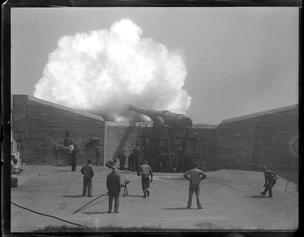
These photographs are stored now at Boston Public Library (“1 negative : glass, black & white ; 4×5 in.”). They were taken by the colorful character Leslie Jones (1886–1967), who worked for 39 years as a photographer for The Boston Herald. On the photo below he is clearly on an assignment to shoot the Boston Harbor islands!
A large numbers of his photos from the library collection (including the ones above) are digitized and published on the site dedicated to his photography.

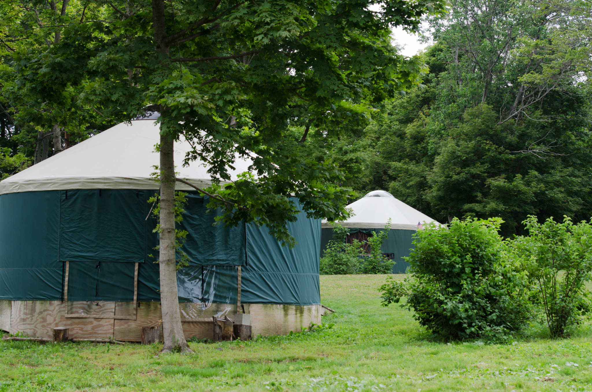
Exploring abandoned artillery sites was not the only thing we did on top of the hill. There was also a campground of sorts up there. Camping is officially allowed on four islands in Boston Harbor (Grape, Bumpkin, Peddocks and Lovells), and it is a relatively primitive kind of camping: no electricity, no running water, no trash cans. Just what the doctor has ordered! Every time I stumble upon one of those campgrounds, I really want to camp there myself for a while — it feel like a reasonable mix of adventure and just being away from crowds — but then I remember that I might as well sleep on the boat! The boat provides more adventure, more solitude, more comfort than a tent — and easy access to whatever island she is anchored off. Given that “campfires are only allowed on the beach, below the high tide line”, staying on a boat could even make one closer to a campfire than staying in a tent. So that sounds like a good idea for the summer (wanna join?). Meanwhile, the one campground we saw on Peddocks was more luxurious, and consisted of six “yurts” (canvas-sided cabins).
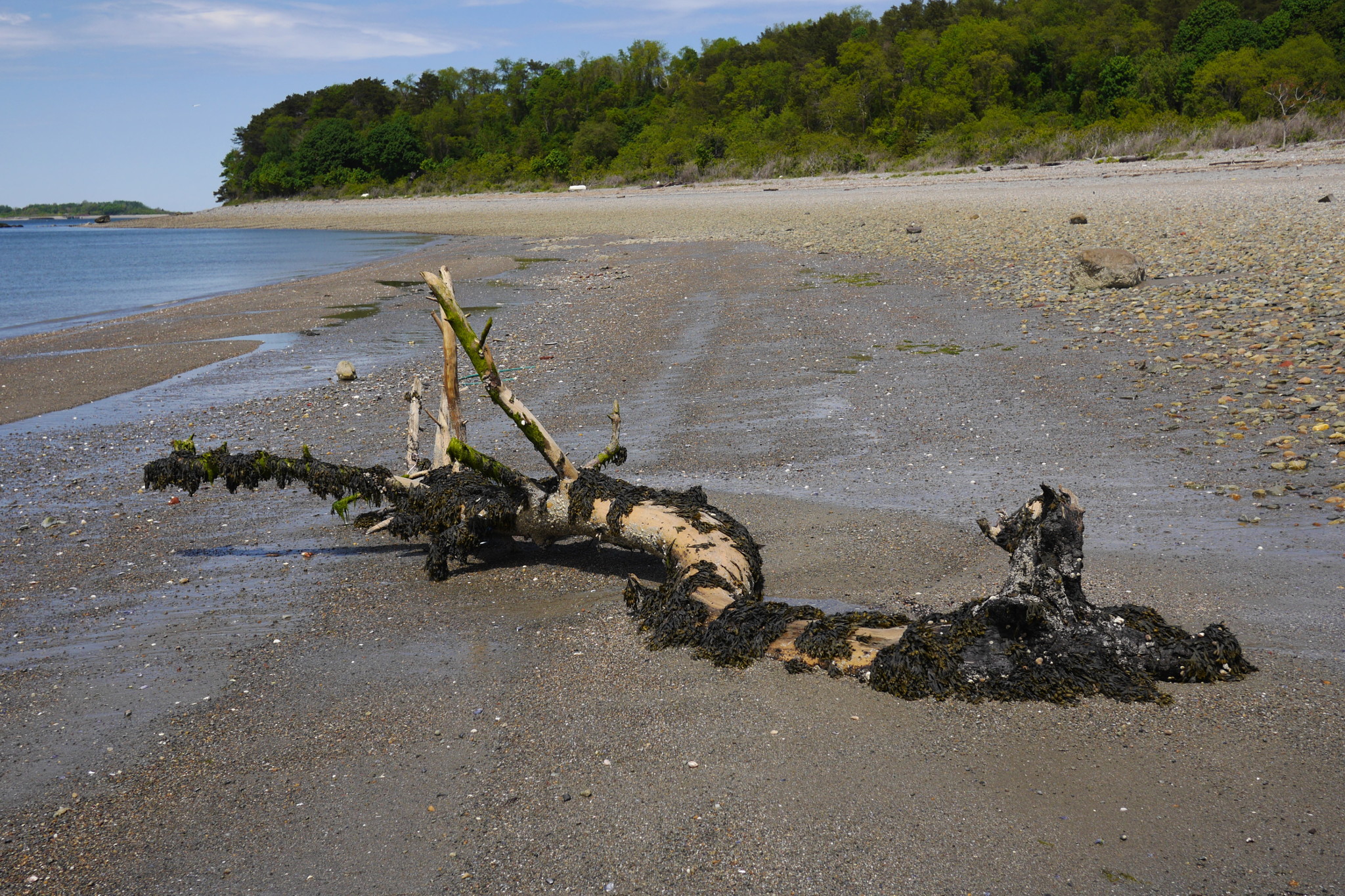
While walking around, we found a few broken eggs. Who had hatched here? Snakes? Turtles? Dinosaurs?

No, wild turkeys!
Another important thing we found on the top of the hill: a great view. You can see a lot of outer Boston Harbor from here, but of the particular interest is the nearby tip of the long and narrow Hull peninsula. The passage between Peddocks Island and Hull is called Hull Gut. Here it is, with a sailboat transiting:

Hull Gut is the narrowest passage in the Harbor. During World War II, it was all blocked with anti-submarine nets, and for a good reason: German submarines were quite active and aggressive in New England coastal waters.
Now it’s just a fun passage for small boats. Because it is the narrowest, it is also the one with the strongest tidal current: up to 2.6 knots. When you go with the current, it’s fast and enjoyable. When you go against it, it could be hard, or dangerous, or even next to impossible depending on the boat and on the wind.
Which is to say, I really like to sail through Hull Gut (when the conditions are reasonable), and while enjoying the scenery, I tried to assess the conditions. That sailboat managed to go through just fine. Why couldn’t we?
We talked a lot about the guns in Fort Andrews, but there were also a number of buildings in the fort. The fort size was not insignificant: it housed 1085 enlisted men in 1941, and that number grew during the war. In addition to that about 1100 Italian prisoners of war were housed in the fort in 1944–1945. Quite a few of these buildings still remain: barracks, officer quarters, a bakery, a stable.
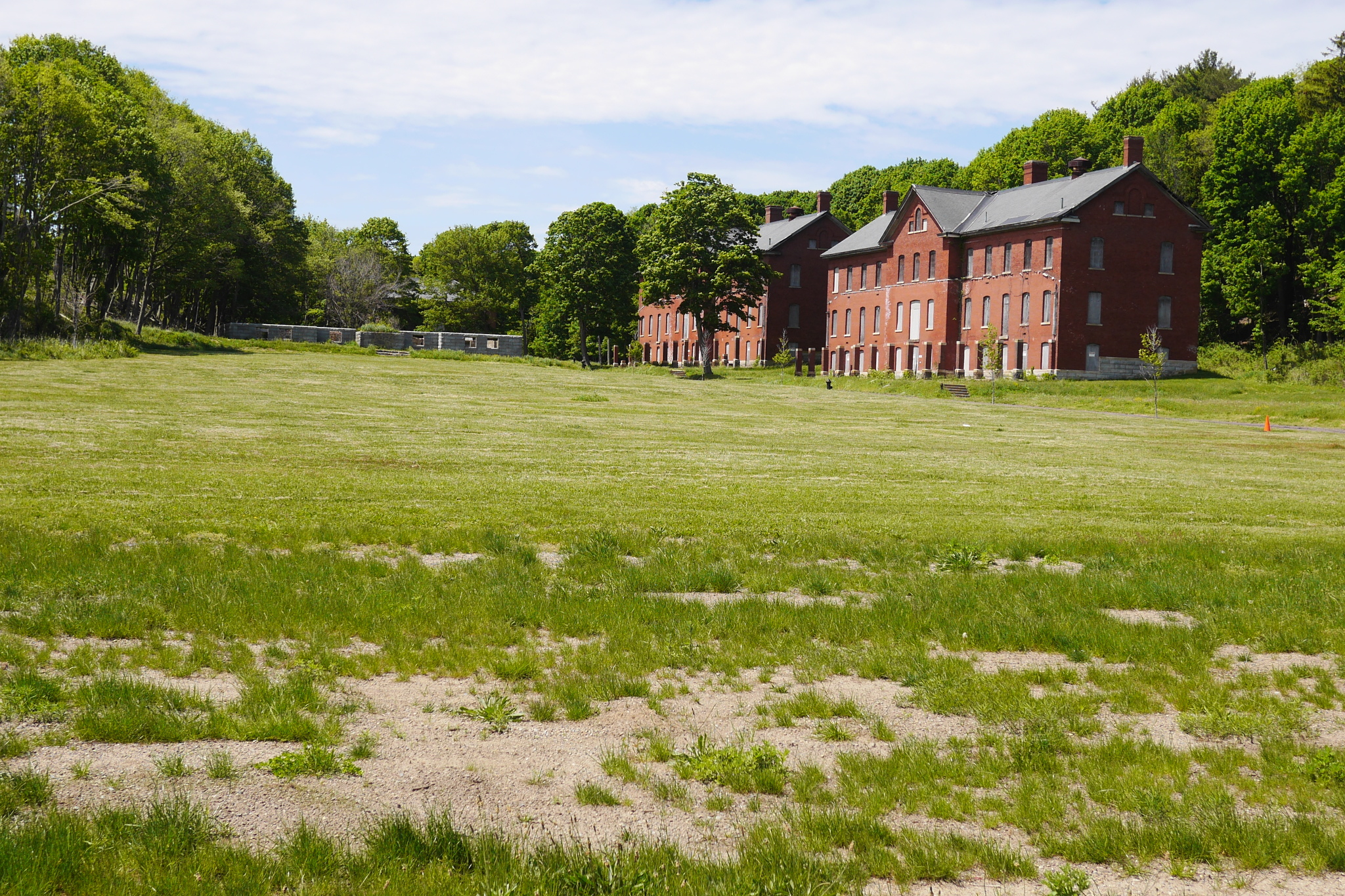

A few years ago a number of buildings in a dangerous state of falling apart were demolished, and the others were presumably stabilized and stay there for a while.
I can imagine that the demolition was necessary, but it still makes me sad that it had to come to this. One of many appeals of the Harbor islands in general is that each island is a world in itself, quiet and distant from the rush of the city. One of many appeals of Peddocks is how past, present and the nature all seamlessly blend together. It’s sad to see that go, even little by little.

In the right window, you can see a simple white chapel, built in 1941 and restored in 2012–2014. Here is another view, from the hill:
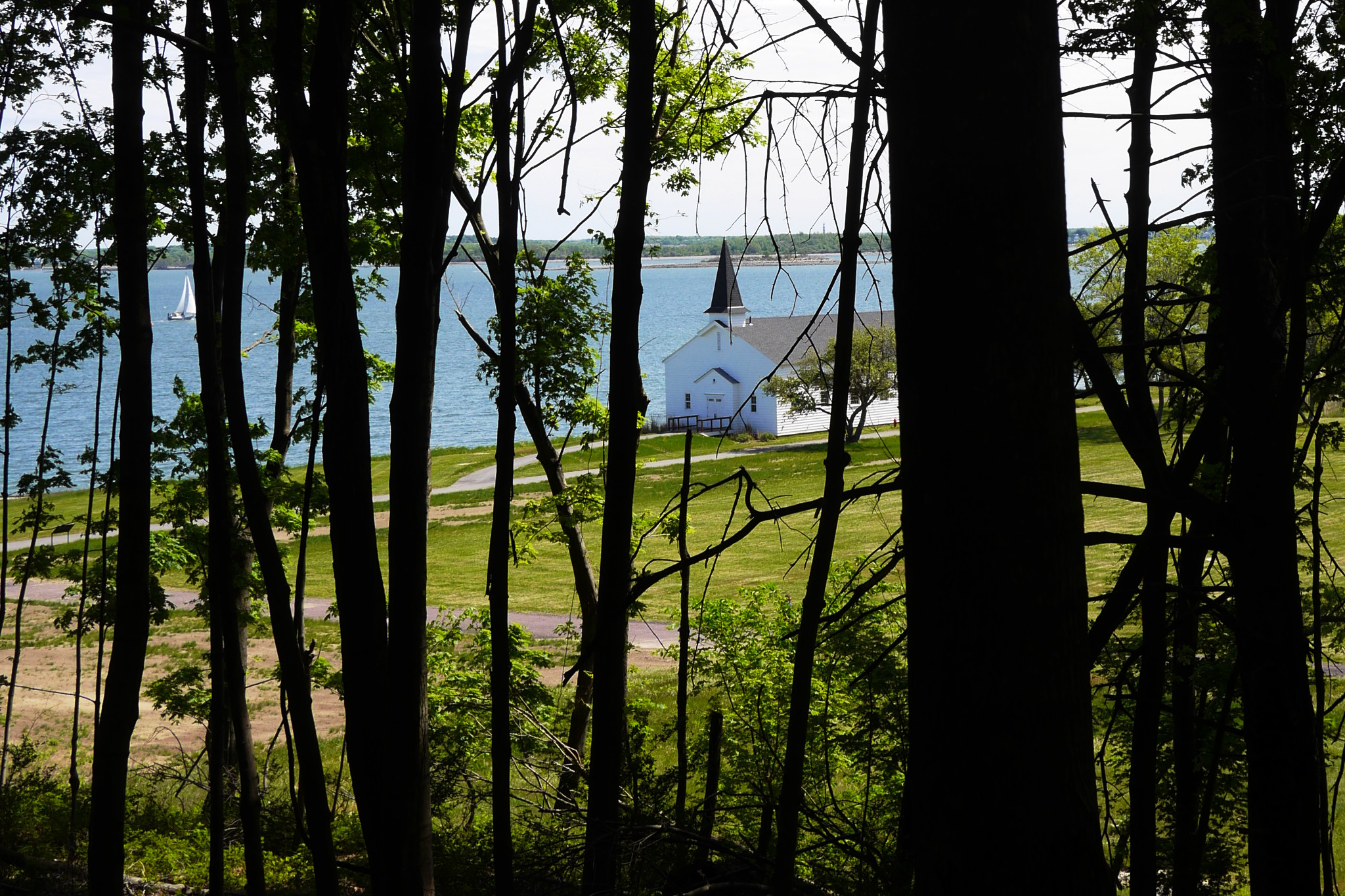
This chapel is of standard military vintage, of course; Protestant, Catholic and Jewish servicemen and their families worshiped there, as well as the Italian POWs.
The military history of the island would be incomplete without mentioning those Italians, who grew vegetables in their community garden on the island, published a newspaper, played soccer with American soldiers, and spend their weekends in North End, Boston’s old Italian neighborhood. Some of them married local women and remained in Boston after the war was over.
If you ask me, that’s the best way to spend the war (honestly, it sounds like a reasonable way to live even during peacetime). If I were fighting for the Axis in World War II, I would definitely wanted nothing more than to be taken prisoner and shipped away from the war-torn Europe to Peddocks Island to grow some Italian herbs and date local girls.
Apparently, that’s how those Italian boys themselves perceived their situation. In 2001, The Boston Globe found and interviewed one of them — Luigi DiGiorgio, a tank driver captured in North Africa in March 1942:
In 2001, DiGiorgio, by then 80, returned to the island. He spoke sadly of its “beauty,” lamenting over and over that his old POW camp had been allowed to decay. Asked to describe his treatment on Peddocks, DiGiorgio spread his arms wide and beamed. “Benissimo,” he said. Wonderful.
By now, the tide has already changed and it’s time for us for leave if we want to be able to pass Hull Gut before the strongest flood current begins pouring in. To finish the fort story for now, here is a rare high quality aerial photo of Fort Andrews in 1932. The view is from the direction of the pier, which still the pier today — this is where ferries dock.
The fort was closed in 1947. Since then, no enemy threatened to attack Boston Harbor.

Peddocks Island treated us well. Despite the threatening signs, nobody tried to prevent us from exploring, and we met a few other people enjoying the nice day. The welcome center was closed — I’d guess the season there starts on Memorial Day — but I don’t think any of us regretted the quiet and the solitude.
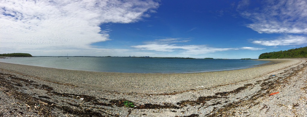
We are back at the beach now, and start getting ready to row our dingy back to the mother ship. Sergey shoots a panorama. He always does.
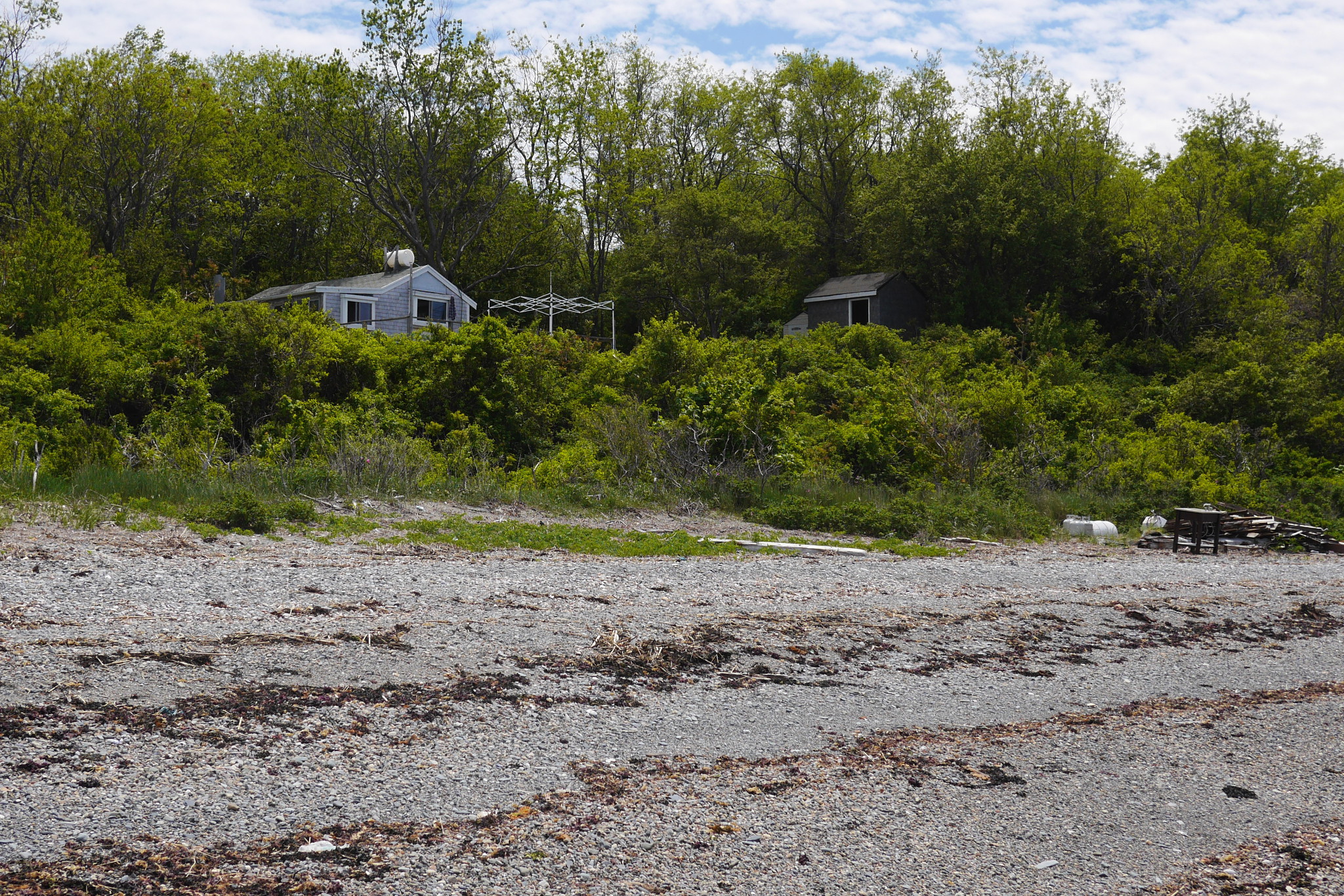
There are a few cottages visible from the beach. I know that these cottages generated a certain amount of controversy, being private (but not quite private) property in a public park (but not quite National Park). I suspect that some (if not majority) of them are the very same houses the Portuguese fishermen floated here over hundred years ago. Definitely something to explore next time.
As we start dragging the dinghy across the sand to the water, an older gentleman comes to us from the cottages. Have you checked for the ticks, he asks. There are too many of them around already, I always get some when I go out. — And he proceeds to tell us story ho his neighbors suffered from ugly consequences of Lyme disease.
I check my legs, and find a tick. Thank you, dear islander! You saved me a lot of trouble, and you did it completely out of the kindness of your heart.
That was the last thing that happened to us on the island. We rowed to the boat, deflated the dinghy and stowed it down below, and then proceeded to raise the anchor under sail. Nothing makes me more content than an opportunity not to turn the engine on.
Then we sailed around Peddocks Island, through Hull Gut, and turned our boat back towards home, past Georges, and Gallops, and Long Island.
Here is how Peddocks Island appeared to us then, with ferry dock and the white chapel at the foreground, and other remaining fort buildings further away. Georges Island with its own well preserved fort, Fort Warren (the one that General George Andrews helped to build), is visible to the right.
With that, the story of the island exploration is over — or rather it would have been if we visited the island by ferry. But we came on our own, in a sailboat, and our memories of land explorations are inevitably fused with the memories of adventures on the water.
That sailing was indeed memorable, especially the very end of it, when we already doused the sails, turn the engine on, put fenders on a side of the boat, and were almost ready to dock. And then the engine had suddenly died and refused to come to live again, leaving us with a rush of adrenaline and in quite a predicament: in tight quarters, almost not moving and with the sails down.
This is not the place to describe our botched docking attempt when we lost Lena (she was just left on the dock while the boat sailed away; no harm done). Suffice it to say that we ultimately managed to moor under sail, something I’ve never done on a boat that large before. And for us, this is also a part of our Peddocks exploration.
Even large islands in Boston Harbor are really not that large. So it never ceases to surprise me that we never have time to fully explore even a single one of them. It’s a sweet kind of surprise of course, for by leaving things unexplored we are forcing ourselves to come back again and again. To be on these islands is the other side of sailing between them, my cheap and handy teleport device to slower life and simpler times.
And so it is with Peddocks. With all the time we spent there, we’ve hardly explored the third of the island, and I did not even had a chance to tell you about and to show you everything we’ve seen. Which will force me to write more, — about some bits and pieces of history, and present, and nature, random thoughts and anecdotes that come to mind, all of them like flotsam and jetsam one can find on a beach.
Subscribe via RSS