Nut Island
In a normal year, by now I would be standing on the deck or behind the wheel, breathing the fresh salty air or taking pictures of beautiful sea vistas to show you.
Alas, the forecast this year is for a high concentration of coronavirus in the air. The sailing club is still closed. So last weekend, on a pleasant summer-like day, I mounted my bike to go for a nice, long ride, to breath the fresh air — and of course to take pictures of beautiful sea vistas to show you.
I was keeping up with the program of exploring maritime locations, even if by land, — and in particular, of exploring Boston Harbor islands. That day, my path led me to Nut Island.
Even if you live in Boston, you are quite unlikely to have heard of Nut Island. At least I didn’t, until I found it on the map of Boston Harbor National and State Park. Now the time has come to explore it.
My path there was mostly landlocked, through very nice parkways in Boston and Brookline, and then along the new, beautiful Neponset River bike trail. There, I got traditionally confused how to get onto the unpleasant, car-heavy bridge over the mouth of Neponset River to the city of Quincy. In Quincy, it was a straightforward ride to the neighborhood of Houghs Neck, and then over to Nut Island.
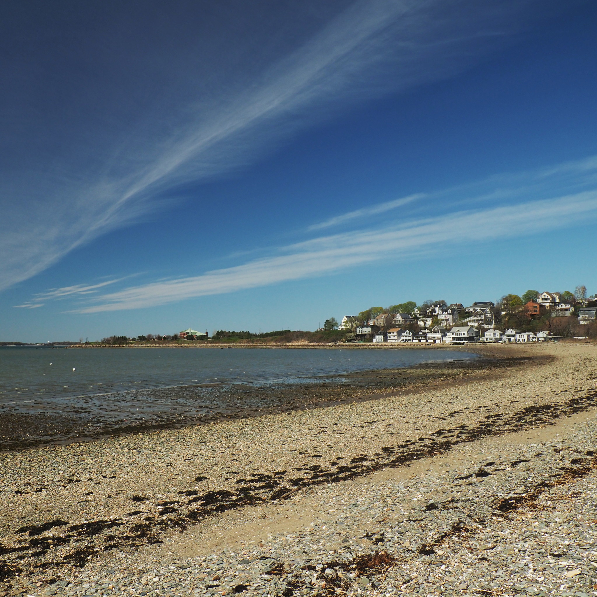
Nut Island is surrounded by Quincy Bay on one side and Hingham Bay on the other side, both being parts of Boston Harbor. It is one of those non-island islands, nowadays connected to the mainland.
Every single history of Nut Island sidesteps the question of when it stopped being an island. So of course we go back to old nautical charts to figure it out ourselves. On this chart from 1896, Nut Island is still clearly an island, connected to the mainland only by tidal flats and a sandbar (dry at low tide, underwater at high tide).
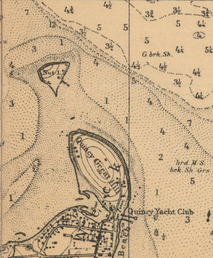
On a 1909 chart, there is already a narrow causeway connecting the island, and of course on the modern chart it is hard even to guess that it was an island:

(The old charts are weird in that the depth is marked in feet in dithered areas, and in fathoms in clear areas. Modern charts of Boston Harbor have depths in feet everywhere.)
There is not much history associated with the island, and whatever history there was, very few traces of it still remain.
For years, the island was used for grazing cattle; apparently there was a road of sorts going to an island at low tide, seven feet underwater at high tide. In 1865, one Marcus Cram had “driven” to the island with his family — presumably, to enjoy a nice day out there. When he was coming back, the road was underwater. Cram judged it still being shallow enough to cross, but his horse got confused in a current, panicked and ran their buggy into deep water. The entire family suddenly found themselves struggling out in the sea: what a nice weekend picnic! Some passerbys had rescued everyone but Cram himself, who perished at sea. Some drivers shouldn’t even be on the road… Just sayin’.
Later, in the 1870s the federal government used the island for trial practice of some of the largest cannons ever produced, targeting Peddocks Island. As far as I can tell, nothing good came out of these trials, and nothing of them remains on the island.
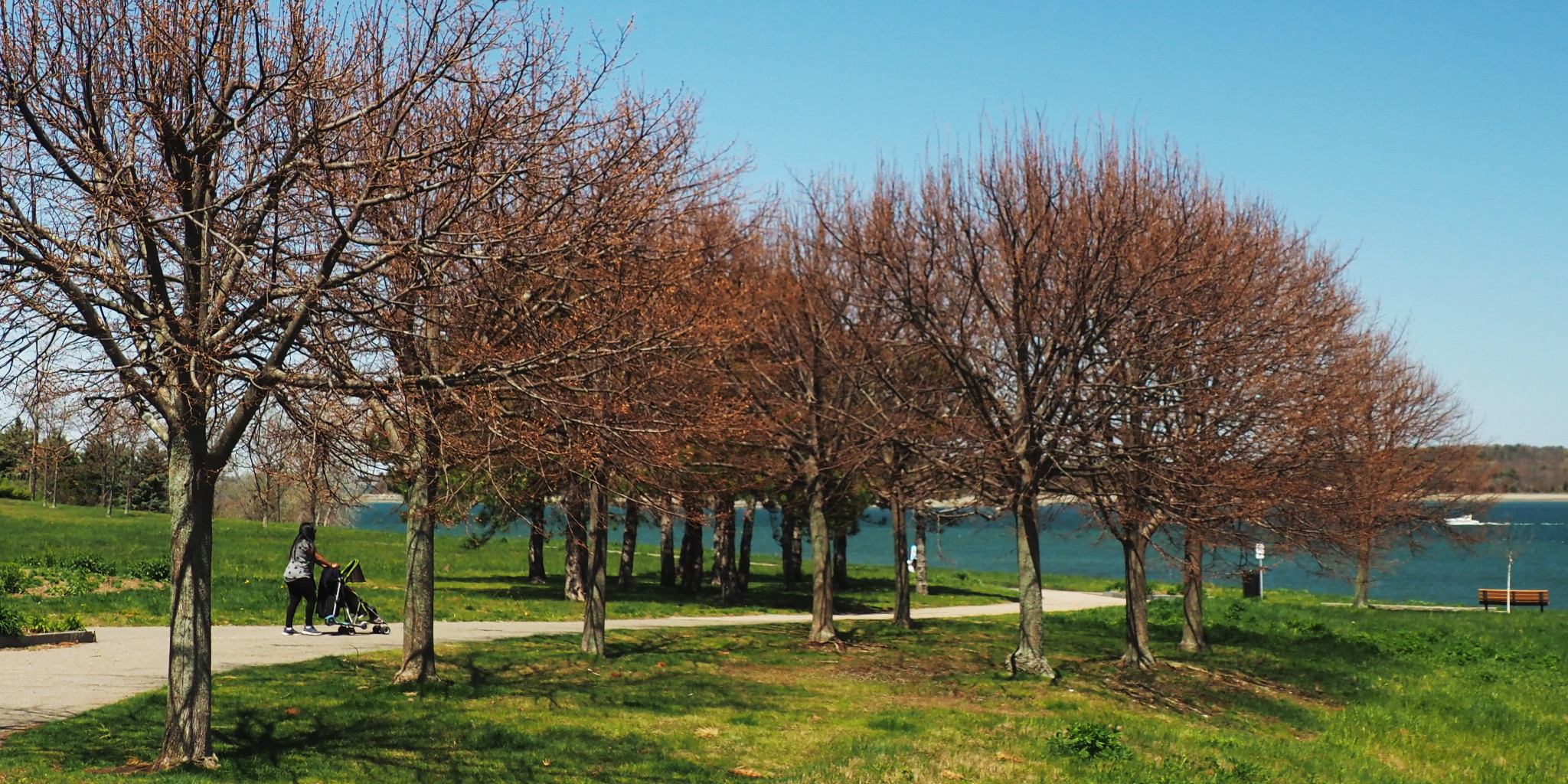
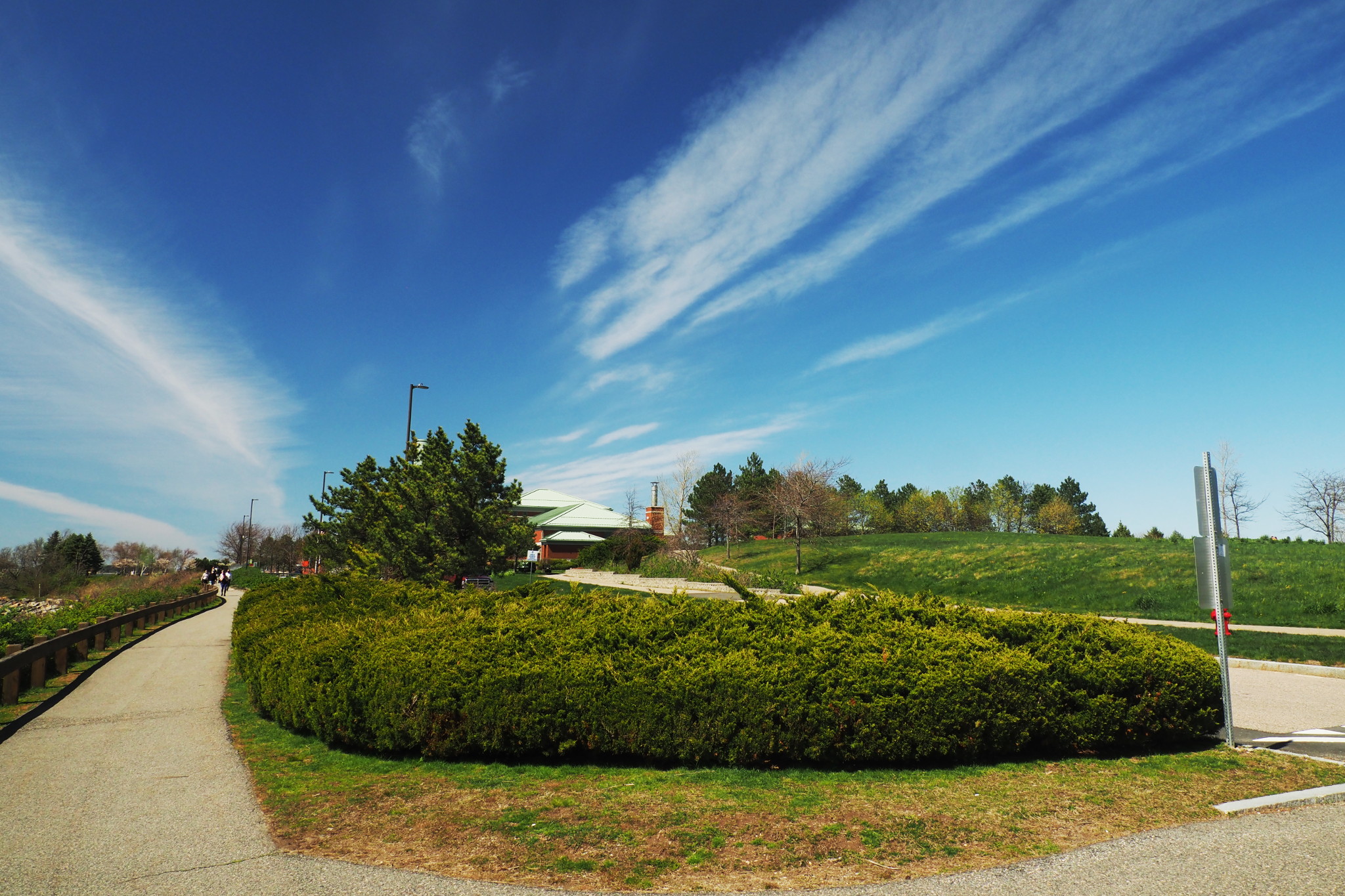
Today, one can easily drive — or bike — into the island, which is turned into a beautiful, well maintained park.
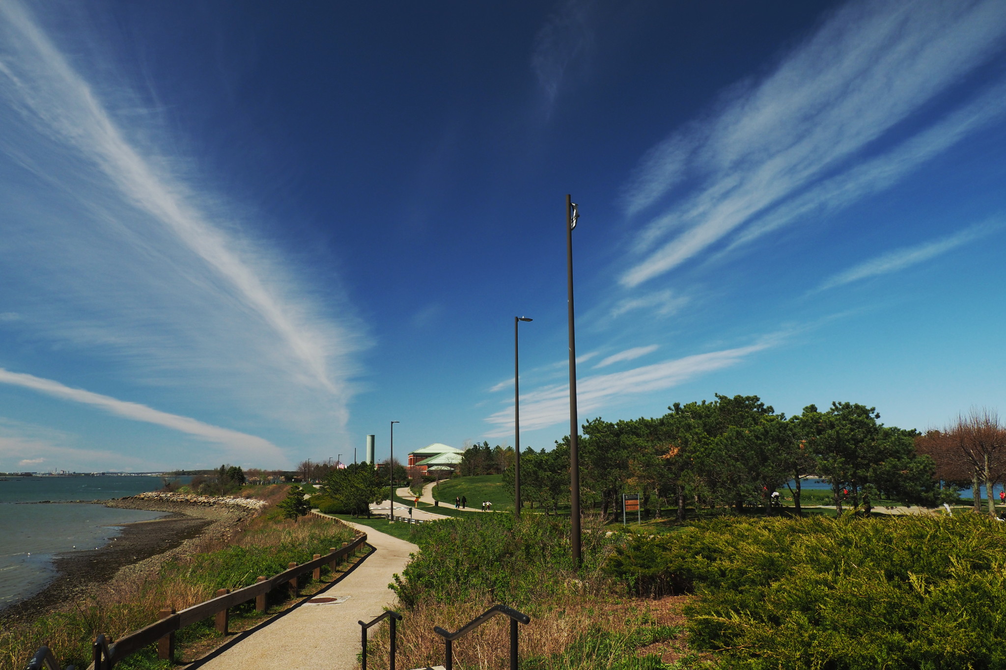
The only question is, what are those brick building with green roofs in the distance?
Ah, the island’s dirty little secret! Well, actually, not a secret as much, and not little at all either.
Since early 1900s, there was a sewage pump station on the island. In 1952 it was replaced by a wastewater treatment facility, but all the same, they kept discharging raw or minimally treated sewage into the harbor — from time to time. When local residents complained about the smell, the facility workers responded quite directly: “We ain’t baking cookies here!”.
There was even a term coined — Nut Island effect — describing, as Wikipedia tells us, “an organizational behavior phenomenon in which a team of skilled employees becomes isolated from distracted top managers resulting in a catastrophic loss of the ability of the team to perform an important mission”.
This was going on for many decades, until people had enough. A new, state of the art wastewater treatment plant was build on Deer Island; in my post on that island I tell the full story. In 1998 Nut Island’s facility were converted into an intake station for Deer Island. It takes sewer waters from 21 Boston area communities, does some initial filtering, and then pumps it to Deer Island over a 5-mile underwater pipe. No smell, no discharges, and the island is a beautiful park now. What a success story! The island, along with the station, is managed by Massachusetts Water Resources Authority, the government agency created specifically to keep Boston Harbor clean.
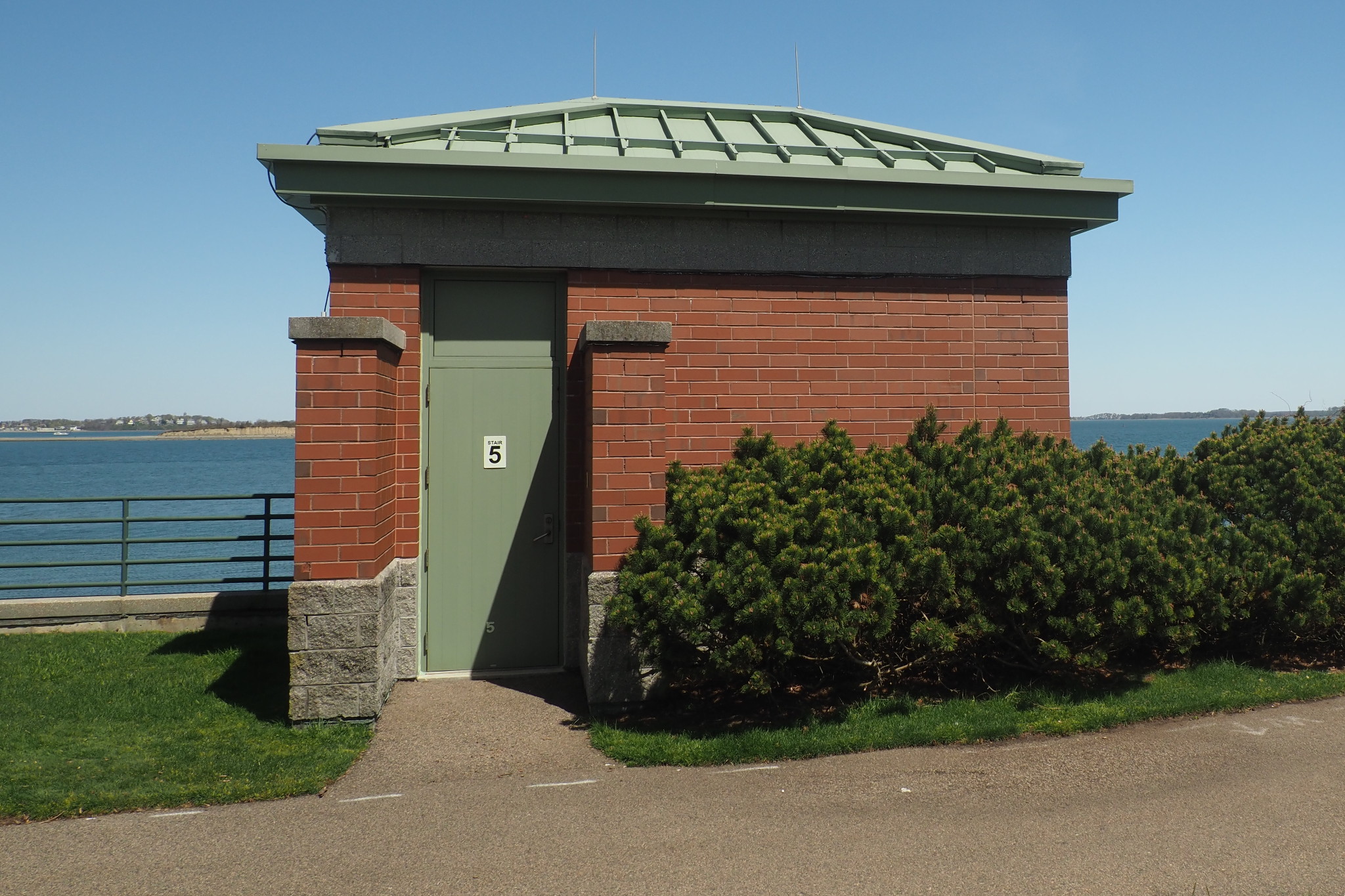
Here is the main building of the Nut Island Headworks, as it is officially called. They all have similar architecture.
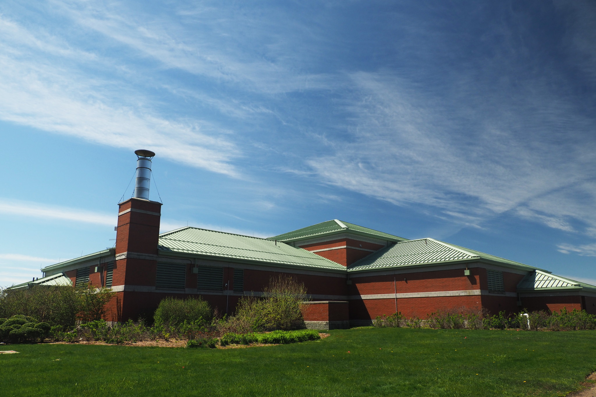
Given the nature of the facility, when one sees on the few little structure saying on the door something like “Stair 5”, one can’t stop imagining where this stair leads, and what’s at the bottom.
Likewise, there quite a few of these huge pipes on the island, begging similar questions.
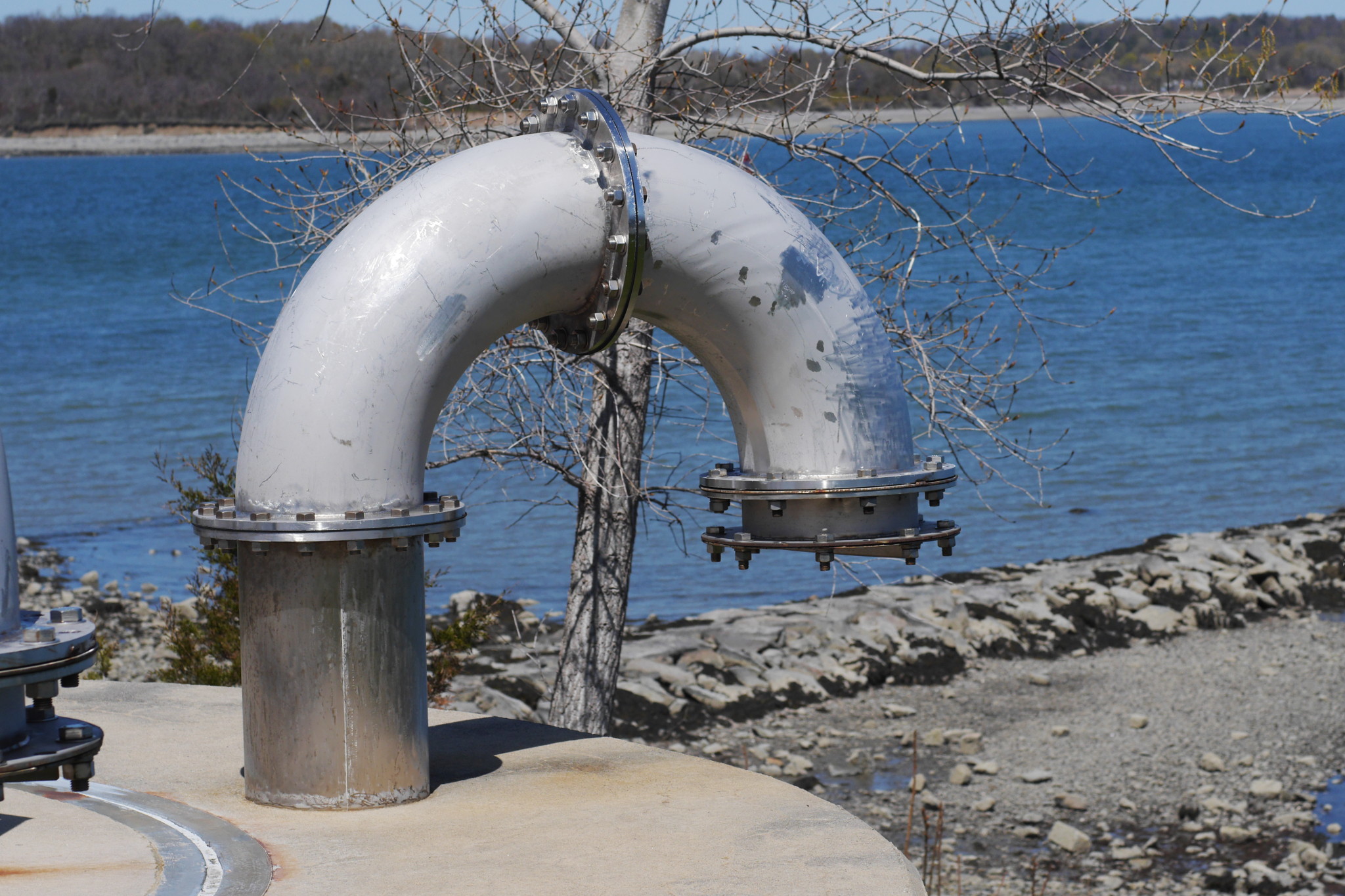
But hey! There is no smell whatsoever, the water is clean… What else to ask for?
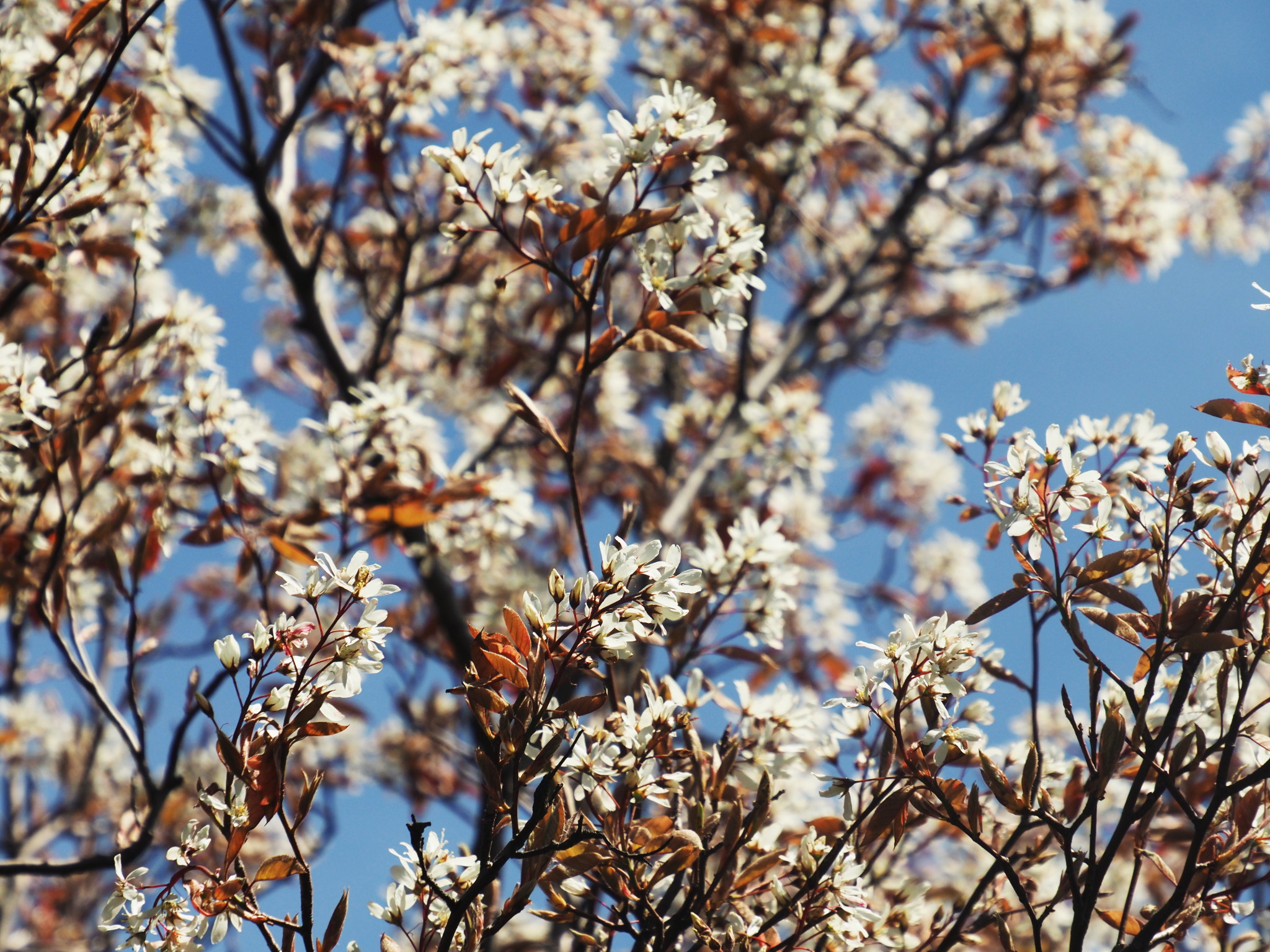
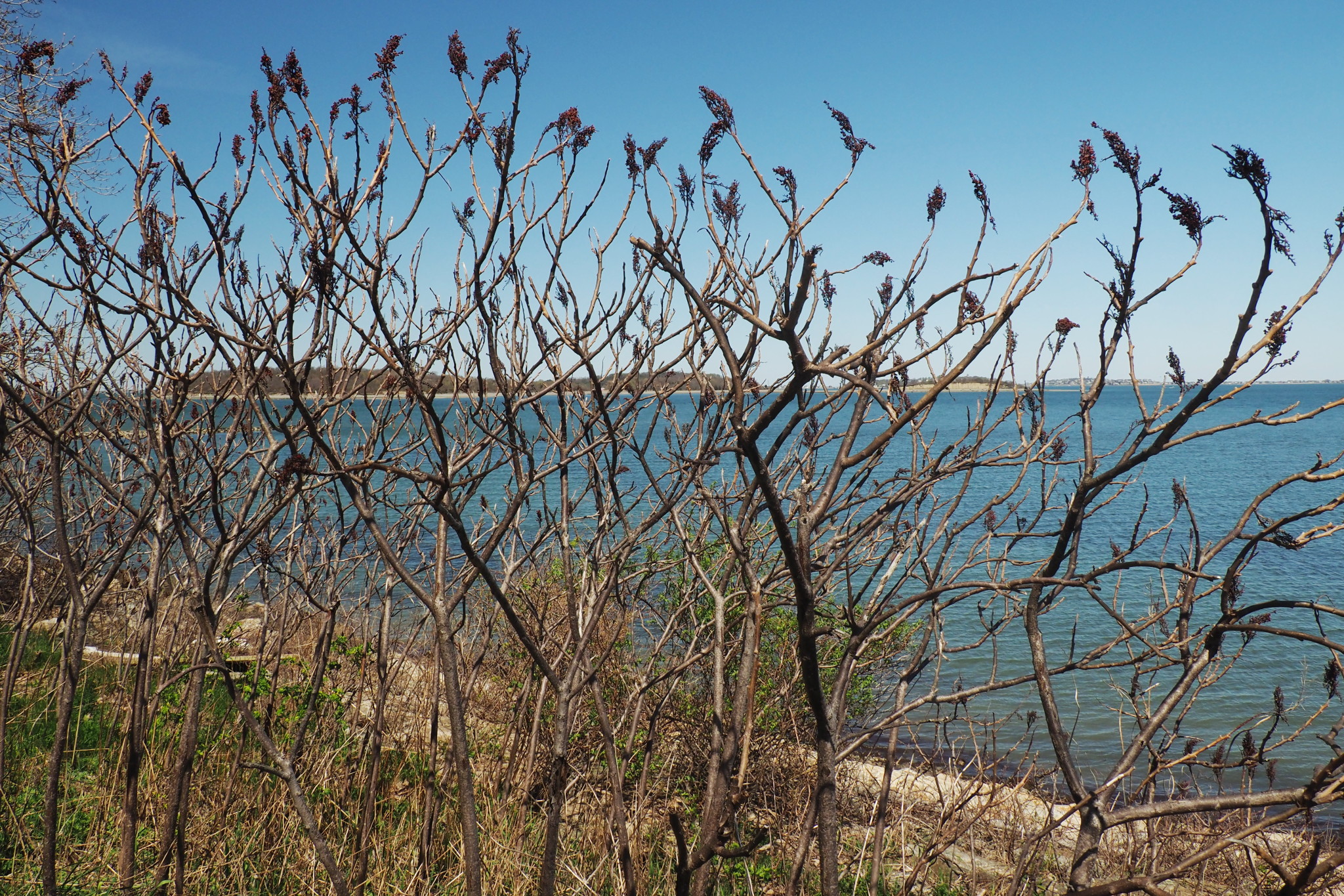
As I said, the island is landscaped into a nice park. People are walking around, and the nature is finally blooming.
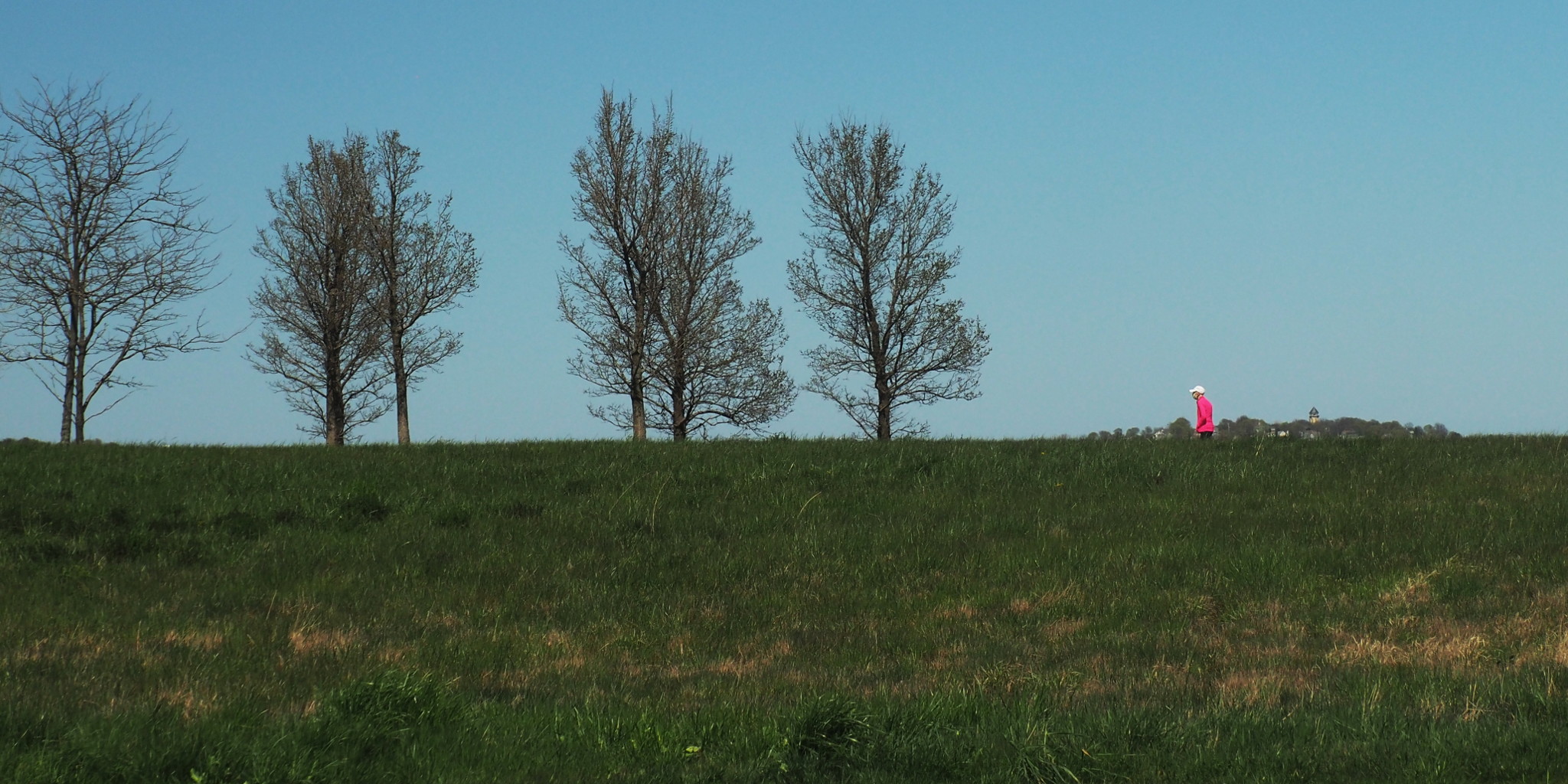
This photo looks visually pleasing, but it was an old man walking with a face mask, all alone. Which makes it a sad photo for me. The tower behind him is actually on the mainland, in the town of Hull across Hingham Bay.
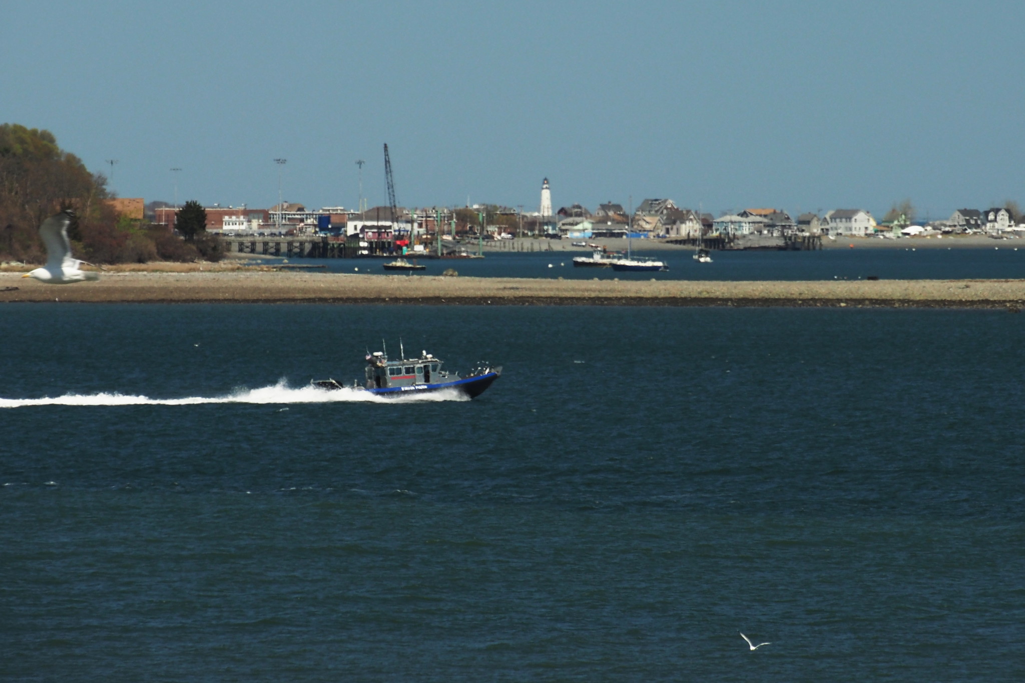
Out of recreation opportunities on the island there is, obviously, walking; there is, from what I could gather, some good fishing; and then there is enjoying great views of Boston Harbor. This was an important reason why I was there, so let’s look around.
The faraway Boston Light, the main Boston lighthouse, is seen here beyond two other landmasses: a sandbar on Peddocks Island, and the mainland town of Hull. That’s what I love about Boston Harbor, and still can’t get used to completely: with so many islands and capes, the landscape is always changing as you move around, and it is often hard to tell where one piece of land ends and where the other begins. It is about 4.6 miles towards the lighthouse.
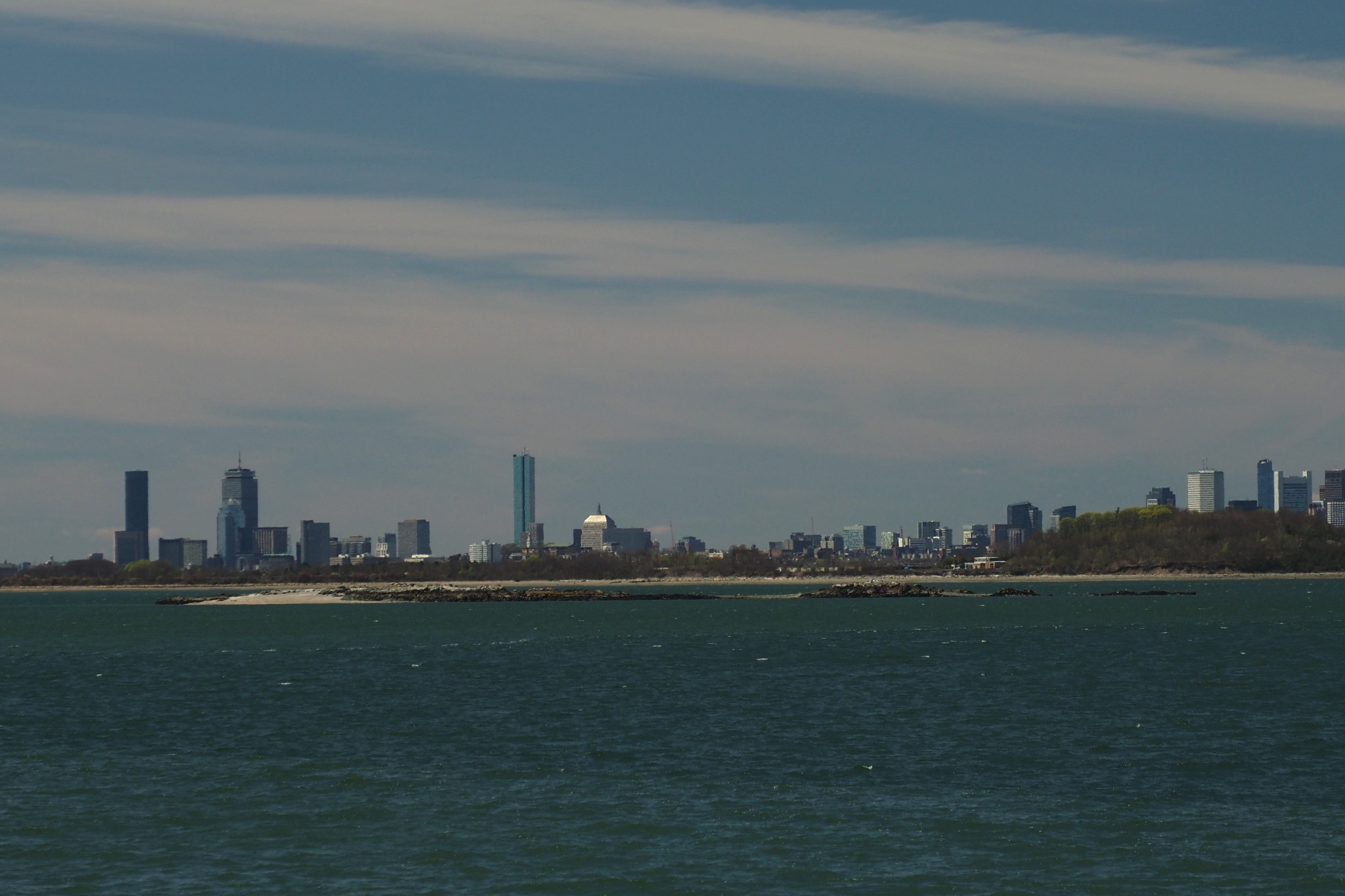
And this is a view towards downtown Boston, with the tiny Hangman Island in the foreground. We visited this island back in July 2018, and found it crowded with gulls and other birds. It is about one mile to the island, and about 7.5 miles to the high-rise buildings.
Enjoying the expansive views, I finished my circumnavigation of Nut Island. What a nice little place! Clearly not an island anymore (and if you ask me, it was a very misguided idea to allow cars there), but still retaining enough of that strong island magic that we’ve been exploring in this blog.
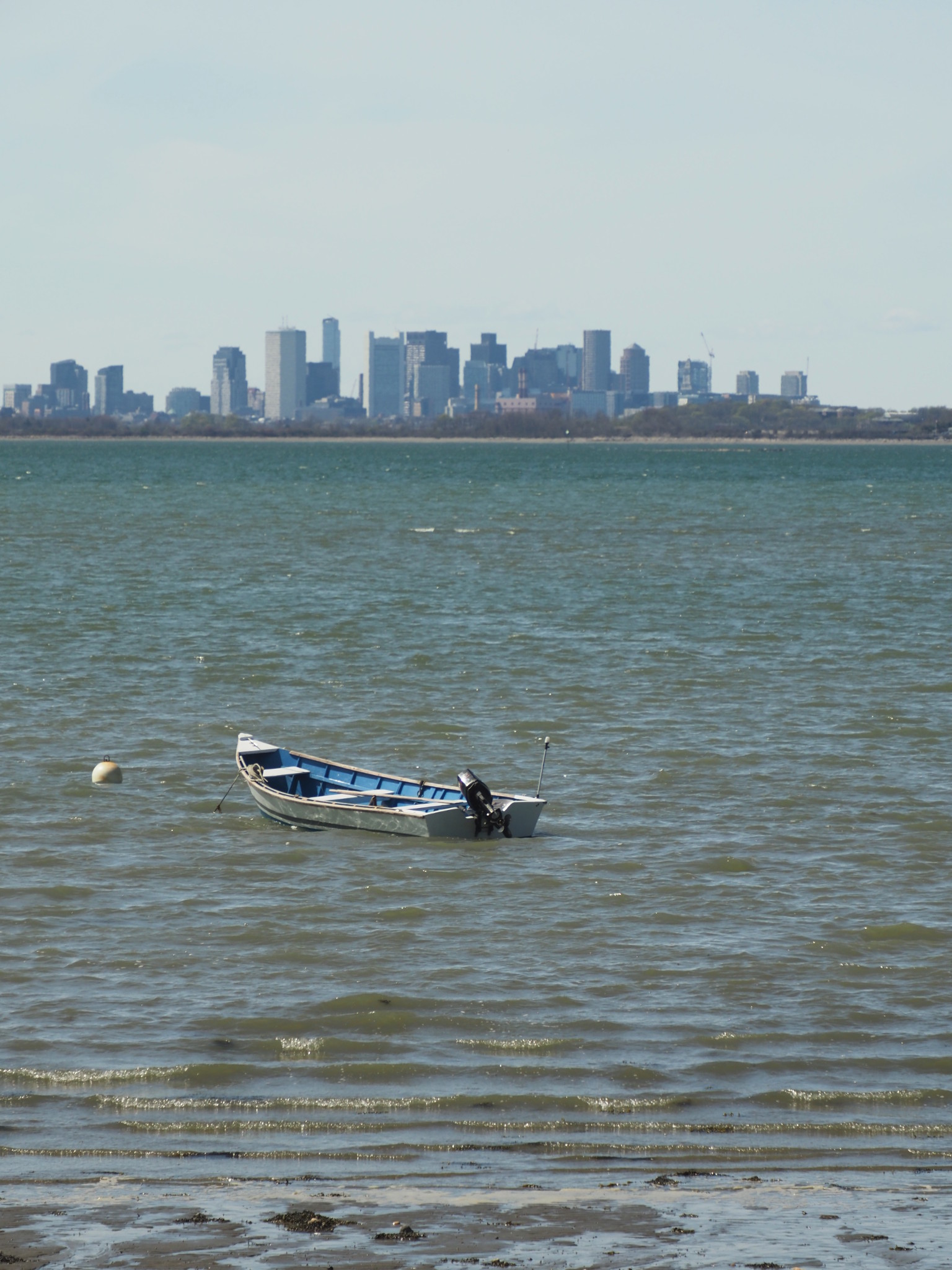
One last appreciation of the island looking back, and of the distant Boston skyline.
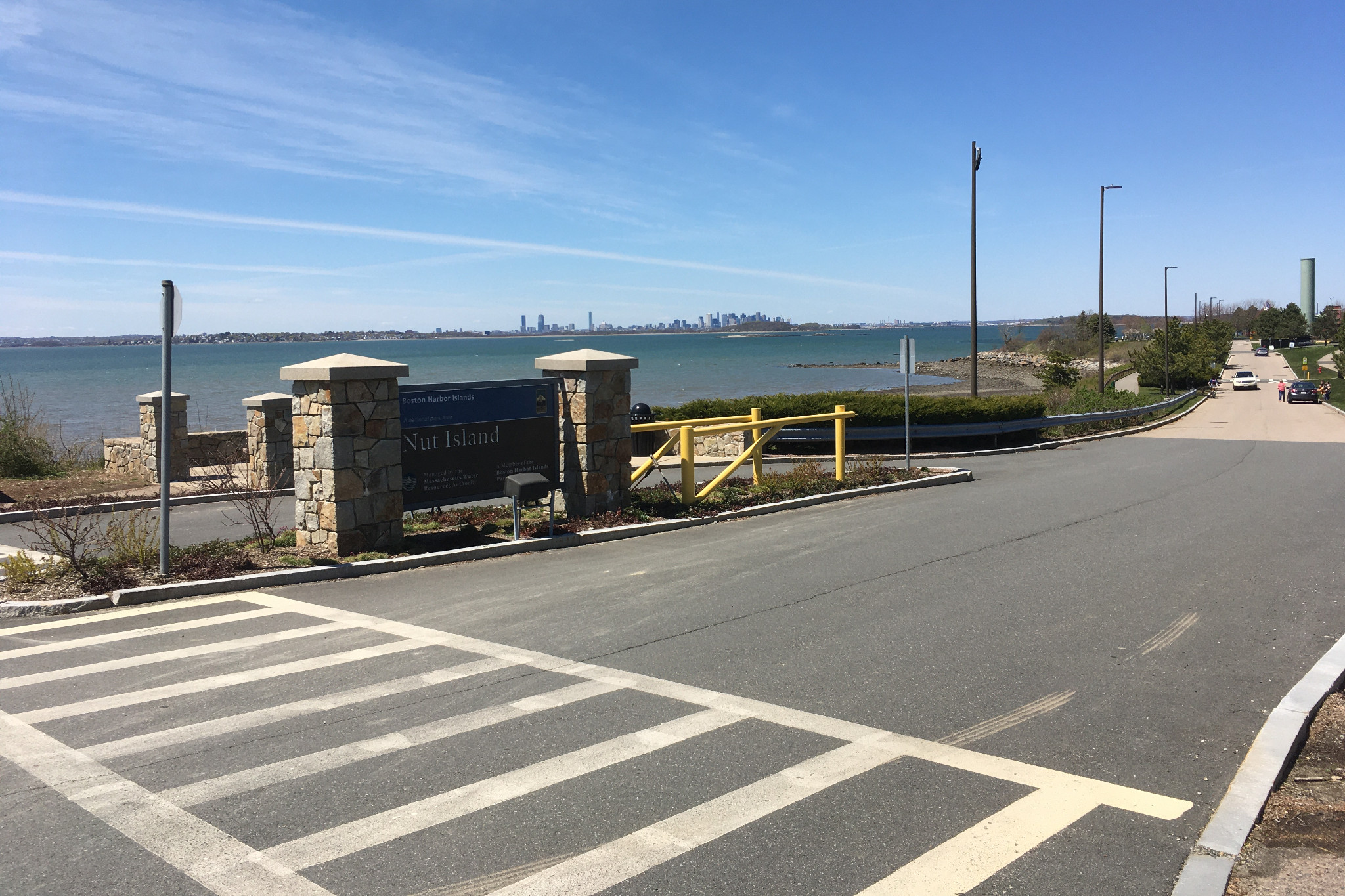
My bike was getting restless, so I unlocked it and pointed it back towards home. The route back was specifically designed to follow the coast as much as possible, and soon after I left Nut Island, on a Houghs Neck beach, I had to stop and to take this photo of an empty harbor, waiting for our return.
Houghs Neck, by the way, was a resort place in the late nineteenth century, much like Cape Cod is today. Bostonians would take a ferry to spend a weekend there, enjoy the beaches and swimming — maybe to the nearby Nut Island?
Meanwhile I had left Houghs Neck, and was biking along Quincy and Boston beaches. Many of them, especially in Boston, had closed a parking lane next to the beach and converted it to a bike lane, which I appreciated a lot.
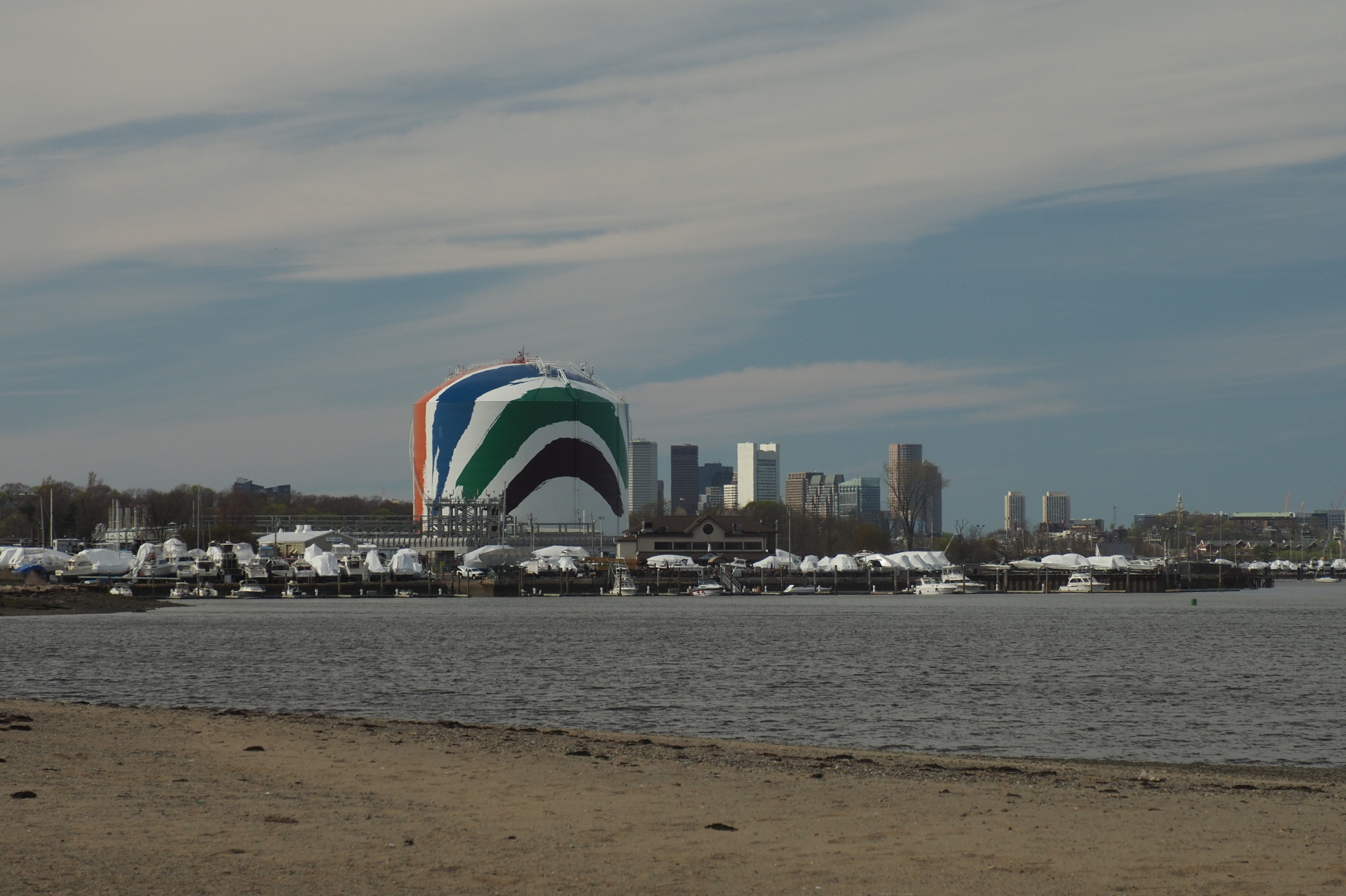
On my way I biked past a very prominent colorful tank, well known to everybody who sails in Boston Harbor — it is such a great landmark. Turns out it holds LNG (liquefied natural gas), has its own Wikipedia page, and, above all, it the largest copyrighted work of art in the world.
As I was following the shoreline, I was getting close and closer to Squantum — a peninsula in Quincy connected by a causeway to Moon Island (closed to public), and then by a bridge to Long Island. That bridge was demolished a few years ago, but it still remained in our hearts, and now I could see it well.
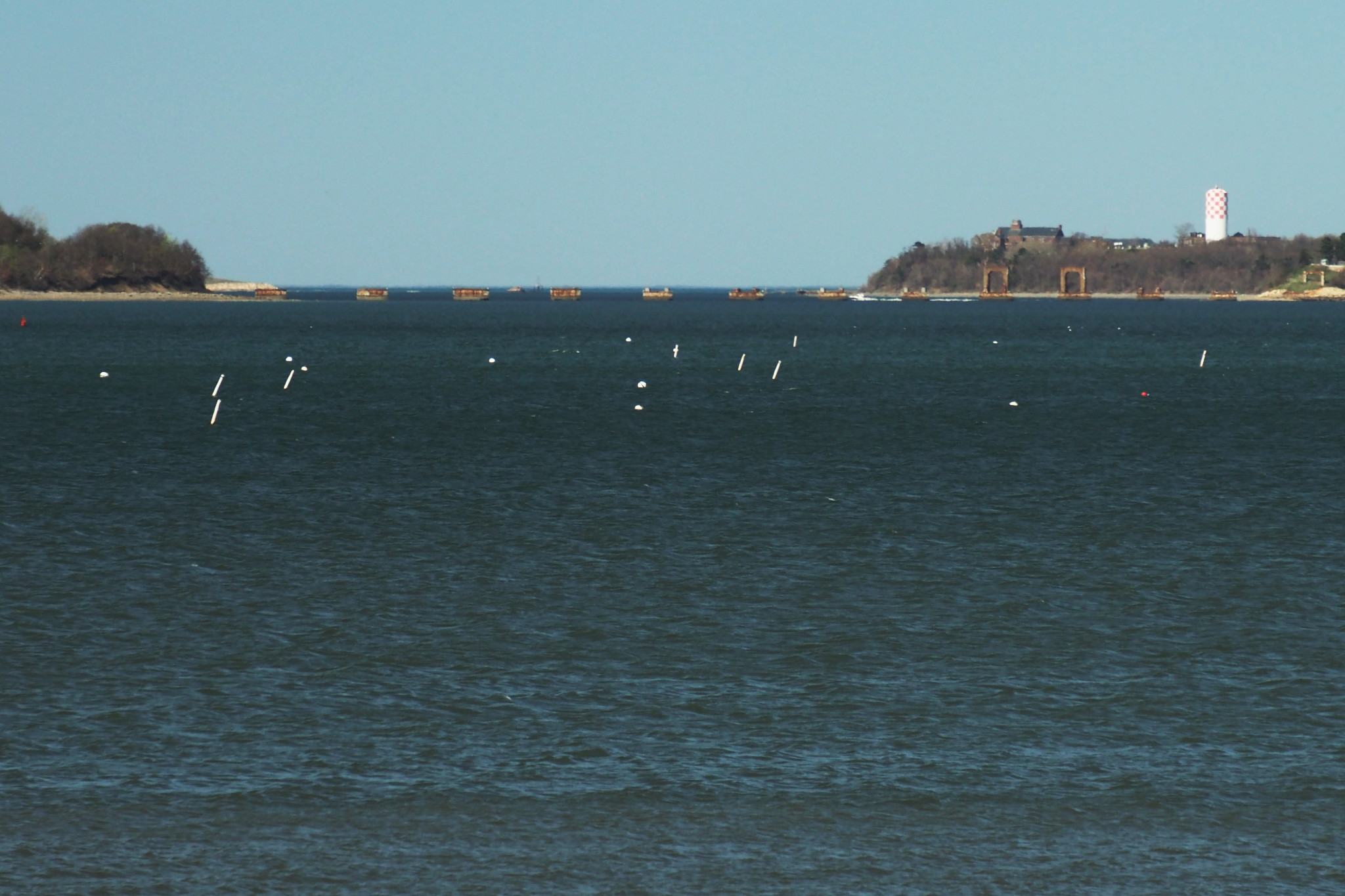
Past Squantum, I was back on that nasty highway bridge across Neponset River, and the followed the Boston shoreline past UMass Boston all the way to Castle Island. Castle Island had its entrance and the parking lot closed for cars, but open for people and bikes (just the way I like), so I made my way to the fishing pier and stopped there for the last communion with Boston Harbor.
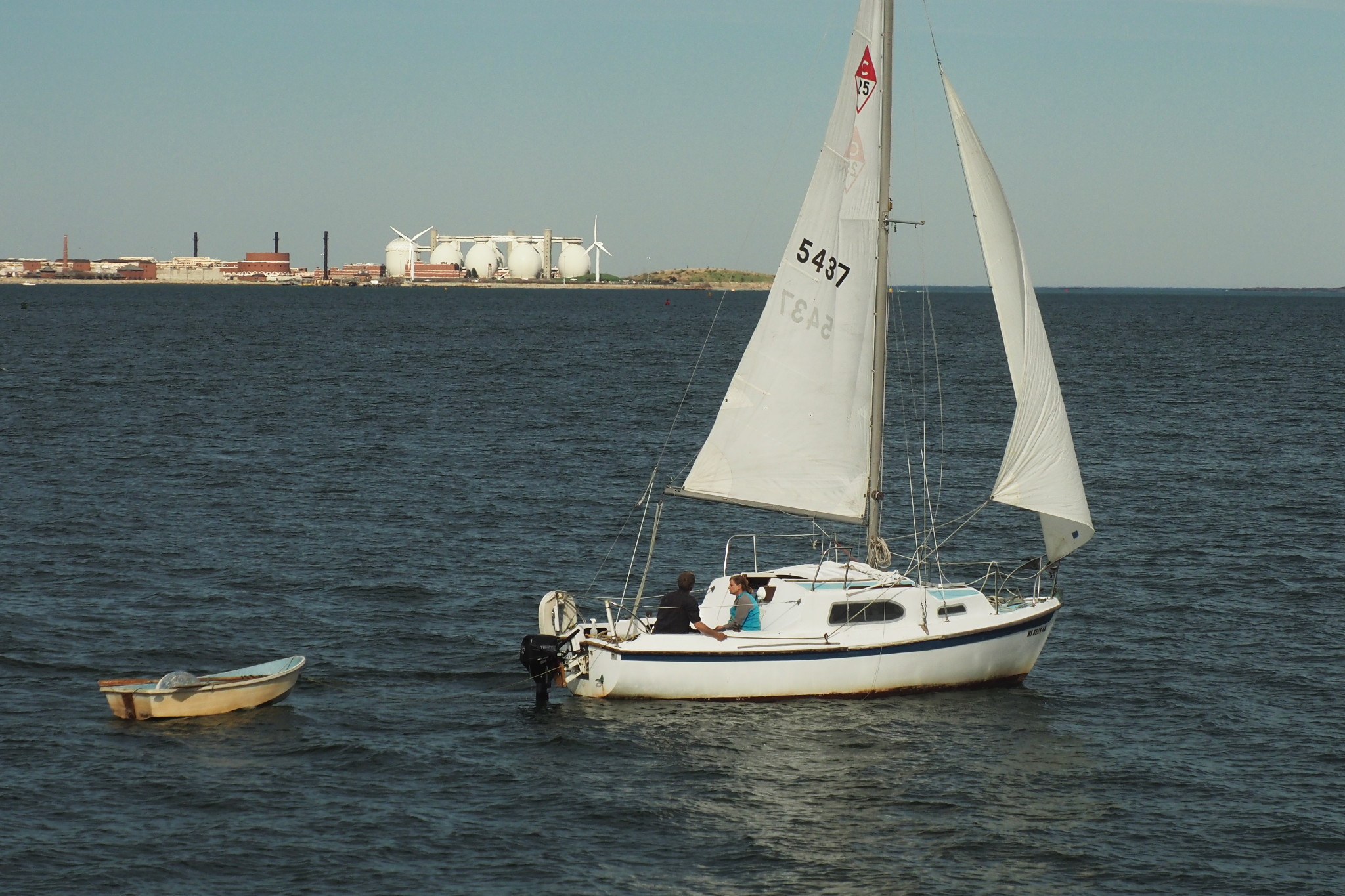
As I was standing there, I saw a small, lonely sailboat making her way downwind out of the inner harbor, past the airport and Castle Island. She was clearly a private (rather than a club) boat, with a couple in the cockpit, trying to fly their sails wing-on-wing. Mesmerized by the people spending their life the right way, I watched the boat sail past me and proceed to the outer harbor. On this photo we can see Deer Island with its huge white eggs behind her, the other terminus of the Nut Island pipeline, so it rhymes nicely with that day’s exploration.
Meanwhile, I turned my back to the sea, and headed home, inland.
Subscribe via RSS